
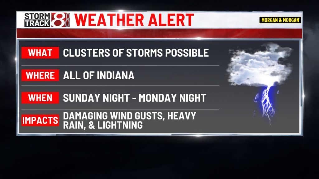
INDIANAPOLIS (WISH-TV) — A WEATHER ALERT is in effect due to possible storm complexes moving through tonight, Monday, and Monday night. Quieter weather will follow for the rest of the work week.

SUNDAY NIGHT:
Partly cloudy and muggy with lows from the upper 60s to lower 70s. There could be a batch of storms that develops across SW Indiana overnight and some additional storms could approach Northern Indiana late tonight and early Monday morning.


MONDAY:
Clusters of rain & storms could be ongoing during the first half of the day with another round later in the afternoon, evening, or into Monday night. Storm complexes in this type of weather pattern can produce damaging wind gusts, torrential rainfall that could lead to flooding, and dangerous lightning.


The caveat with this weather pattern is that it’s hard to predict the timing and placement of storms with much lead time. We just have to watch where things end up developing in real time. Highs in the upper 80s to around 90 are expected, but early day rain and clouds could cap the amount of warming that happens. Some spots could also have heat indices around 100°, if there is indeed enough warming throughout the day.

MONDAY NIGHT:
The chance of storms will continue. Once again, a batch or two could develop and move from NW to SE across Central Indiana. Lows will be in the 70s.

TUESDAY-FRIDAY:
It now looks like we’ll have a relatively quiet and dry stretch of days. Near average highs in the mid 80s are expected along with lows in the 60s. Elevated smoke from wildfires out west may continue to produce hazy skies here in Central Indiana.

It’s looking really good for the first day of Colts training camp on Wednesday but elevated smoky haze will be the wildcard.

NEXT WEEKEND:
There are early signs that some additional rain & storms chances will head our way. Highs look to stay in the mid 80s.

About The Author

You may also like
-
Aces eliminate Fever in WNBA Playoffs for second straight year
-
Aces lead Fever at halftime of decisive Game 3 playoff matchup
-
Monroe County elementary students admit making social media threats
-
Gov. Braun’s diesel order could save farmers thousands of dollars
-
Indianapolis Zoo euthanizes 20-year-old lion, Zuri, after health decline