
drew 7/26/26 AM
TODAY

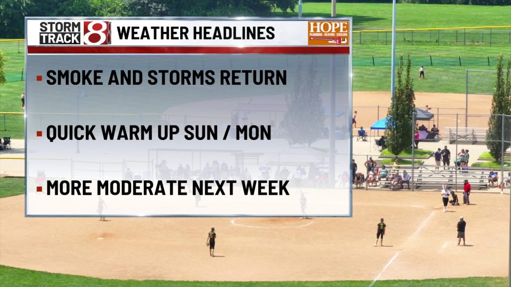
Patchy fog and low clouds may linger through the early morning, especially outside the Indianapolis metro, before conditions gradually improve. Breaks of sunshine should become more common by midday and afternoon, allowing temperatures to rise to around 90 degrees. Winds remain light, and the increasing humidity will make it feel hotter than the thermometer suggests. Despite the warm, unstable air, most of Sunday should remain dry because a layer of warmer air above the surface will limit thunderstorm development.
TONIGHT

Clouds increase as the atmosphere becomes more unsettled. Showers and thunderstorms become possible mainly after about 2 a.m., with lows remaining very warm in the lower 70s. There is still considerable uncertainty over whether an organized complex of storms will track directly into central Indiana or pass nearby. Some communities may see little rain, but any storms that arrive could produce damaging wind gusts and locally heavy rainfall. Keep alerts enabled overnight in case storms approach before Monday morning.
TOMORROW
Monday brings the most uncomfortable combination of heat, humidity, and thunderstorm potential. Temperatures climb into the lower to middle 90s, while the humidity could push afternoon heat-index values to around 100 degrees or slightly higher. Scattered showers and thunderstorms remain possible throughout the day, but it will not rain continuously. Where storms or lingering clouds hold temperatures down, the heat may be somewhat reduced; where sunshine lasts longer, conditions could become dangerously hot. Southwest winds occasionally gust near 20 mph.
TOMORROW NIGHT
This remains the period with the highest chance for more widespread showers and thunderstorms. Storms are most likely during the evening and before about 2 a.m., with rain chances near 70 percent. Lows stay in the lower 70s, and southwest winds may gust around 20 mph. Some storms could become severe, particularly with damaging winds, while very high atmospheric moisture could produce heavy downpours and localized flooding where storms repeatedly cross the same area.
TUESDAY
A cold front moves through early Tuesday, carrying most showers and thunderstorms east of Indianapolis by around sunrise. Aside from a very small early rain chance, skies become mostly sunny with highs in the upper 80s. Northwest winds around 10 mph may gust above 20 mph as cooler and progressively less humid air begins arriving. It will still be warm, but the afternoon should feel increasingly comfortable compared with Monday.
TUESDAY NIGHT
Mostly clear, breezy, and much more comfortable. Lows fall into the mid 60s with north winds around 10 to 15 mph, occasionally gusting near 25 mph early. After several humid nights, this will mark a noticeable change as drier air settles across central Indiana.
WEDNESDAY
Sunshine and lower humidity take control, producing one of the nicest days of the forecast. Highs reach the lower to middle 80s with a light north breeze. The air will feel considerably more refreshing, making Wednesday an excellent day for outdoor plans after the heat and storms earlier in the week.
7 DAY FORECAST

The greatest weather impacts arrive from late Sunday night through Monday night. Two potential rounds of thunderstorms could bring damaging winds and heavy rainfall, while Monday’s heat index may reach around 100 degrees where sunshine is most persistent. A cold front brings rapid improvement Tuesday, followed by sunny skies, seasonable temperatures, and noticeably lower humidity Wednesday and Thursday. Highs generally remain in the lower to middle 80s through the end of the workweek. Small shower and thunderstorm chances may return Thursday night into the weekend, but no prolonged washout is currently indicated.
About The Author

You may also like
-
Aces eliminate Fever in WNBA Playoffs for second straight year
-
Aces lead Fever at halftime of decisive Game 3 playoff matchup
-
Monroe County elementary students admit making social media threats
-
Gov. Braun’s diesel order could save farmers thousands of dollars
-
Indianapolis Zoo euthanizes 20-year-old lion, Zuri, after health decline