
TODAY

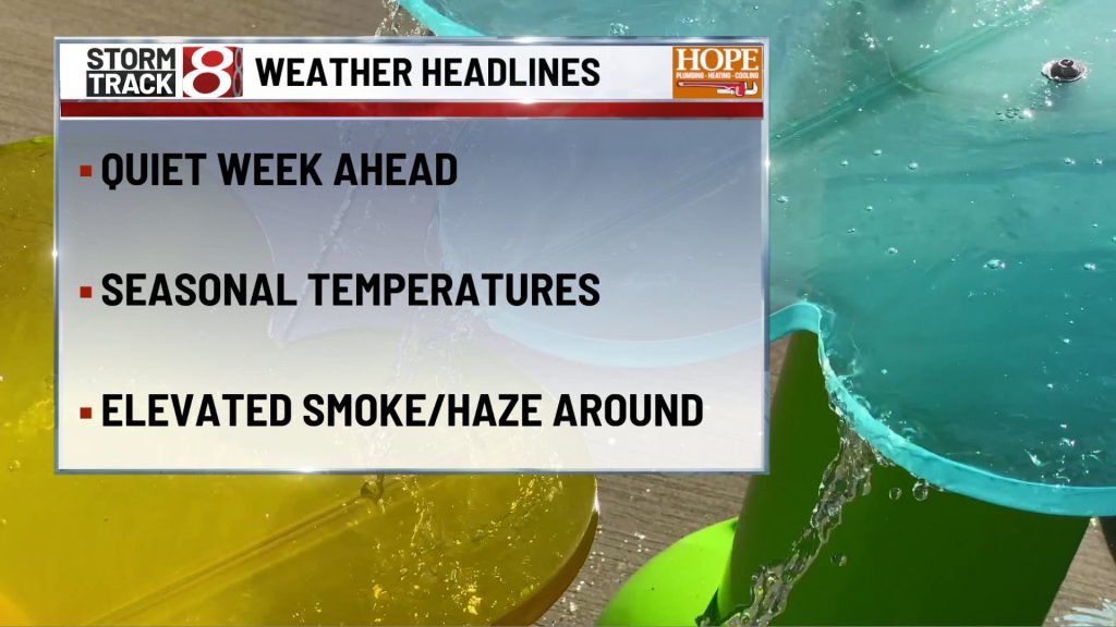
Monday starts warm and muggy with temperatures already in the lower 70s during the morning. Skies will feature a mix of clouds and sunshine, allowing afternoon highs to climb to around 90. Combined with oppressive humidity, heat index values are expected to peak around 100 degrees, making this the hottest day of the forecast. Southwest winds increase to around 10 mph with occasional gusts over 20 mph. Scattered showers and thunderstorms may develop during the afternoon, but there will also be long dry stretches. Any outdoor work or recreation should be planned for the morning if possible, with plenty of water and frequent breaks during the afternoon heat.
TONIGHT

The atmosphere becomes increasingly active during the evening as a cold front approaches from the northwest. Showers and thunderstorms become more numerous, with the highest likelihood occurring during the evening and overnight hours. Lows only fall into the lower 70s. Some storms could become strong to severe with damaging wind gusts, torrential rainfall, and localized flooding. While not every community will experience severe weather, everyone should have a way to receive warnings before heading to bed.
TUESDAY
Any lingering showers should exit early in the morning as the cold front pushes east. Sunshine gradually returns through the day, and while highs still reach the mid 80s, noticeably lower humidity will make it feel much more comfortable than Monday. Northwest winds around 10 to 15 mph, with occasional higher gusts, usher in the refreshing air. Tuesday afternoon will be an excellent opportunity to get back outside after Monday’s heat and storm threat.
TUESDAY NIGHT
Mostly clear and comfortably cool. Temperatures fall into the mid 60s under a light north breeze. After several sticky nights, many locations may finally be able to open the windows and enjoy the cooler air.
WEDNESDAY
Sunshine dominates with much lower humidity continuing across central Indiana. Afternoon highs reach the mid to lower 80s with light north to northwest winds. It should be one of the nicest weather days we’ve seen in quite some time, making it an ideal day for a walk, a bike ride on the Monon Trail, or any outdoor plans after work.
7 DAY FORECAST

The biggest weather concern remains Monday, when dangerous heat combines with the threat for scattered strong to severe thunderstorms. Heat index values near or above 100 degrees will make heat safety just as important as keeping an eye on the radar. A cold front sweeps through Monday night, ending the storm threat and ushering in a refreshing stretch of weather. Wednesday and Thursday feature lower humidity, abundant sunshine, and highs in the lower 80s before temperatures slowly begin climbing again later in the week. A few isolated showers or thunderstorms could return toward next weekend, but widespread rain is not expected at this time.
About The Author

You may also like
-
Weather Alert: storm threat through Monday night, quiet stretch returns Tuesday
-
Storm chances grow as we push through some Sunday morning fog | July 26, 2026
-
NFL flag football games bring thousands of people to Westfield
-
The true origin of kissing the bricks at Indianapolis Motor Speedway
-
Restaurants prepare for surge of fans ahead of Brickyard 400