
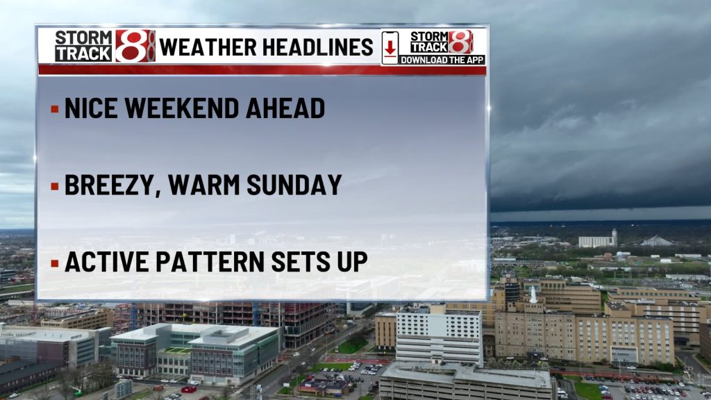
TONIGHT

The evening stays pretty easygoing, and honestly the main surprise may be how little chill there is in the air for mid-April. Skies stay partly cloudy with lows only in the mid 50s, and an east southeast breeze around 5 mph keeps the night from cooling off much. It is a quiet setup for late plans, and the bigger message is that the warmer pattern is already settling in before the active weather gets here.
TOMORROW

Sunday leans fully into that warm spring feel. Expect mostly sunny skies, highs in the lower 80s, and a southwest wind around 10 to 15 mph with gusts up to around 30 mph. It is a great looking day for being outside, but it will be breezy enough that patio furniture, signs, and loose decorations may need a second look. For most of the daylight hours, the weather stays highly usable and very comfortable.
TOMORROW NIGHT
The evening starts quiet and still very mild, then the forecast turns more unsettled late. Clouds increase with showers and a thunderstorm becoming more likely toward daybreak, mainly after the overnight hours get rolling. Lows only slip into the mid 60s, with a south southwest wind around 10 to 15 mph and gusts up to 25 mph. Most of the night is not a washout, but if you are up early Monday, keep in mind the weather may be arriving right as the quiet part of the night ends.
MONDAY
Monday stays very warm, but it loses the clean spring look that Sunday has. Showers are likely and a thunderstorm is possible through the morning and into early afternoon, then the day tries to improve a bit later on. Highs still reach around 80, and a southwest wind around 15 mph with gusts up to the upper 20s keeps things feeling active. Much of the day may still be workable between rounds, but it is the kind of forecast where flexibility matters more than perfect timing.
MONDAY NIGHT
The warmth barely lets go after sunset. Mostly cloudy skies hold lows in the upper 60s, and a south-southwest wind around 10 mph with gusts up to 20 mph keeps the air moving. There is still a small shower or thunderstorm chance around, but this looks more like a warm, breezy, unsettled night than a high impact one.
TUESDAY
Tuesday looks even warmer and starts leaning more serious from a storm standpoint. Partly sunny skies and highs in the low to mid 80s would be enough on their own to grab attention, but by afternoon another round of showers and thunderstorms may begin to develop. Southwest wind around 10 to 15 mph with gusts up to 25 mph keeps a spring edge in the air. It is another day where the weather is not necessarily bad all day, but you do want to stay weather aware into the second half.
TUESDAY NIGHT
The night stays warm, breezy, and somewhat unsettled with a continued chance for showers and thunderstorms. Lows hold in the upper 60s, with a south southwest wind around 10 mph and gusts over 20 mph. Wet roads and periodic downpours are the main concerns if storms come through in rounds.
WEDNESDAY
Wednesday keeps the warm pattern going, but by this point the wetter side of the forecast matters more than the temperatures. Rain is likely, a thunderstorm is possible, and highs still reach around 80 with a southwest wind around 10 to 15 mph and gusts up to 25 mph. This is the stretch where repeated wet periods could start slowing travel more consistently, especially if heavier downpours line up during the day.
WEDNESDAY NIGHT
The unsettled weather hangs on with rain still likely and a thunderstorm not out of the question. Lows stay in the mid 60s, and a southwest wind around 5 to 10 mph keeps the night feeling mild and damp. By this point the pattern has fully shifted from a quiet spring weekend into a prolonged stretch of warm, active weather.
7 DAY FORECAST

The big picture is a quiet and very pleasant finish to the weekend, followed by a warmer and increasingly active stretch from late Sunday night through the middle of next week. Highs run from the lower 80s Sunday to around 80 Monday and then the lower to mid 80s Tuesday, before holding near 80 Wednesday and easing only slightly after that. Rain and storm chances show up in multiple waves rather than one single event, so the more important theme is not one exact hour of impact but several windows where you may need to work around wet weather, downpours, and at times a stronger storm signal.
About The Author
You may also like
-
Man dead after shooting on Indy’s northeast side
-
WB I-465 closed in Carmel due to cut gas line
-
Warm and muggy conditions fuel thunderstorms across Indiana | Apr. 15, 2026
-
Protesters rally against new board’s impact on Indianapolis education funding
-
Severe thunderstorm watch issued for Indianapolis area, northern Indiana