
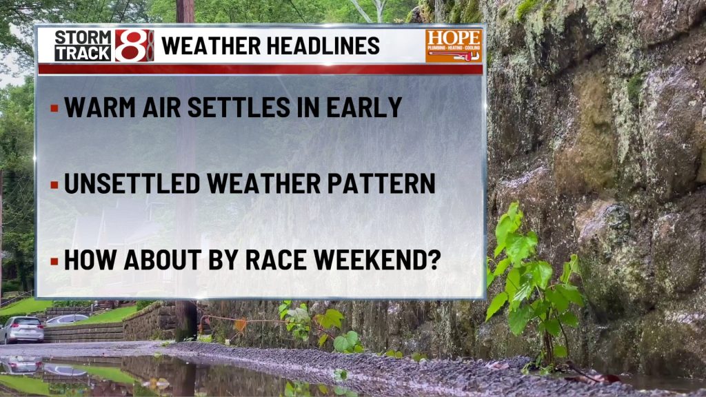
Drew 5/17/26 pm
TONIGHT

Mostly clear and muggy, with lows only falling into the upper 60s. A south breeze around 5 to 10 mph keeps the air moving just enough, and quiet weather should make for a smooth overnight stretch across central Indiana.
TOMORROW

Very warm and increasingly breezy with a good deal of sunshine through much of the day before clouds build later on. Highs reach the mid to upper 80s, with a south southwest wind around 10 to 15 mph and gusts up to around 30 mph. Most of the day still looks dry and usable, but scattered showers and thunderstorms may begin to develop by mid to late afternoon, so late day plans will need a weather eye.
TOMORROW NIGHT
Showers and thunderstorms remain likely during the evening, then the trend should be for activity to fade later at night. Lows stay in the upper 60s, with a south wind around 10 mph and a few gusts above 20 mph. A few stronger storms are possible early in the evening, mainly with damaging wind as the main concern, but this does not look like an all night severe setup for Indianapolis.
TUESDAY
Hot, breezy, and more humid again with increasing clouds and another round of storms expected to build later in the day. Highs jump back into the mid to upper 80s, with a south southwest wind around 10 to 15 mph and gusts up to 30 mph. This is one of the more important days to watch because the next, more organized storm window arrives as a stronger front pushes toward Indiana, and some storms could produce damaging wind, hail, and localized flooding.
TUESDAY NIGHT
Showers and thunderstorms are likely through the evening, then the rain should begin to ease later overnight as the front moves south. Lows fall into the low to mid 60s, with a southwest wind around 10 mph and gusts above 20 mph. Late evening plans will need flexibility, and this period carries the best signal in the run for heavier rain and stronger storms before things calm down toward daybreak.
WEDNESDAY
A leftover shower is possible early, then the day turns cooler and less humid with more dry time developing as it goes on. Highs top out around 70, with a north wind near 10 mph. The second half of the day should look and feel much better than the first, and by afternoon the spring feel returns.
WEDNESDAY NIGHT
Mostly cloudy and noticeably cooler, with lows near 50 and a north northeast breeze around 5 to 10 mph. Quiet weather settles back in for the night after the warm and stormy start to the week.
7 DAY FORECAST

The main story is the burst of summerlike warmth through Tuesday, with highs in the mid to upper 80s before a front brings the better storm chances Monday afternoon and evening, then again Tuesday afternoon through Tuesday night. The Tuesday round still looks like the more organized setup, with damaging wind, hail, and localized flooding all possible. Behind the front, Wednesday trends drier as the day goes on and Thursday looks quieter and cooler with highs back near 70.