
10 PM WEATHER 6-13-26
INDIANAPOLIS (WISH) — The chance of rain & storms continues through early Sunday afternoon. More severe weather is possible by midweek.
SATURDAY NIGHT:
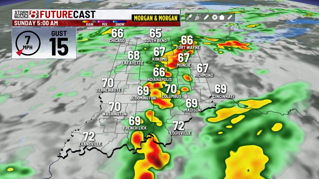
Partly to mostly cloudy. A few additional showers and storms are possible after midnight but some recent data is less bullish on a lot of widespread activity. Milder lows in the 60s can be expected.


SUNDAY:
Scattered showers & storms remain possible until a cold front sweeps through sometime between late morning and mid afternoon. A few strong storms can’t be totally ruled out either until the front passes. Highs will be only in the 70s.


SUNDAY NIGHT:
Fair skies & cooler. Lows tumble back into the 50s. Open up the windows and give your AC a break.

MONDAY:
Variably cloudy and comfortable. Highs in the 70s.

NEXT THING TO WATCH:
The 7 day forecast shows the possibility of another strong storm system Wednesday into Wednesday night. Model data suggest that the storm will have more wind energy to work. A summer setup like this can lead to a big complex of storms with damaging wind potential. Stay tuned for updates over the coming days.


About The Author

You may also like
-
1 child dead, another injured after hit-and-run on Indianapolis’ northwest side
-
Fever GM defends fans, says criticism has ‘no basis in reality’
-
‘Person shot’ report at Warren Central High School on football night
-
Grand jury indicts 35-year-old man in 2006 Franklin murders case
-
Cat food investigation finds heavy metals, pesticides and plastic chemicals