
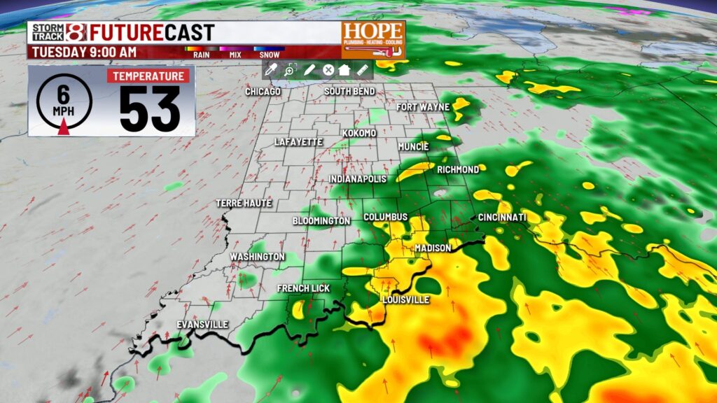
Marcus’ 4 a.m. Tuesday forecast
INDIANAPOLIS (WISH) — The weather pattern is set to change dramatically starting Wednesday, with a sharp cooldown expected to last through the weekend. Temperatures will drop significantly, and there is increasing confidence in accumulating snow for some areas late Friday night into Saturday.
Today:
A batch of steadier rain will shift east, leaving scattered showers through the morning. By late morning to early afternoon, this will transition into areas of drizzle under a low deck. Despite the gloomy sky, mild air will surge in, pushing highs into the mid-50s north to around 60 degrees south.


Tonight:
Tonight, the region will remain mostly damp and cloudy early, with a few leftover light showers. A strong cold front is expected to move through between midnight and dawn, causing temperatures to drop from the low 50s into the mid-30s by sunrise, accompanied by increasing west winds of 25 to 35 mph.

Major shift in temperatures:
From Wednesday through Friday, the pattern will flip to much colder weather, with falling temperatures on Wednesday and highs only in the 30s on Thursday and Friday. Wednesday will be particularly blustery, especially in the north, with gusts near 40 to 45 mph possible. A few flurries or snow showers are expected on Wednesday, too.


Thanksgiving:
Thursday will be cold and breezy, with highs in the 30s and wind chills in the 20s. Friday will be cold but quiet, likely the best weather of the long weekend.

Weekend snow system?
Confidence is growing in accumulating snow late Friday night into Saturday morning as the next system arrives. A thump of snow on the front end is increasingly likely, with potential travel impacts on Saturday morning. As warmer air moves in aloft, snow may mix with or change to rain later on Saturday, especially in the south.


On Sunday, a transition to mainly rain is expected, though brief wintry mix remnants are possible early. Another system may bring more mixed precipitation early next week, but there is low confidence on the type of precipitation.
Overall, a cold, active, wintry pattern is setting up for early December with multiple systems to watch.

About The Author

You may also like
-
‘It was appalling’: 2 men critically injured after being shot on Indy’s east side
-
Indy officials highlight mental health crisis services following deadly double stabbing
-
Woman found dead in southeast side home, homicide investigation underway
-
Tallest hotel in Indianapolis set to open in December
-
Indianapolis man sentenced to 86 years for murder in Delaware County