
Marcus’ 4 a.m. Friday forecast
INDIANAPOLIS (WISH) — A cold front is working through central Indiana this morning, shutting down rain chances and ushering in a much cooler, fall-like feel.
This morning:
Rain is sticking around through the morning commute, tapering off from northwest to southeast. Look for lingering showers through late morning before pushing out by midday.
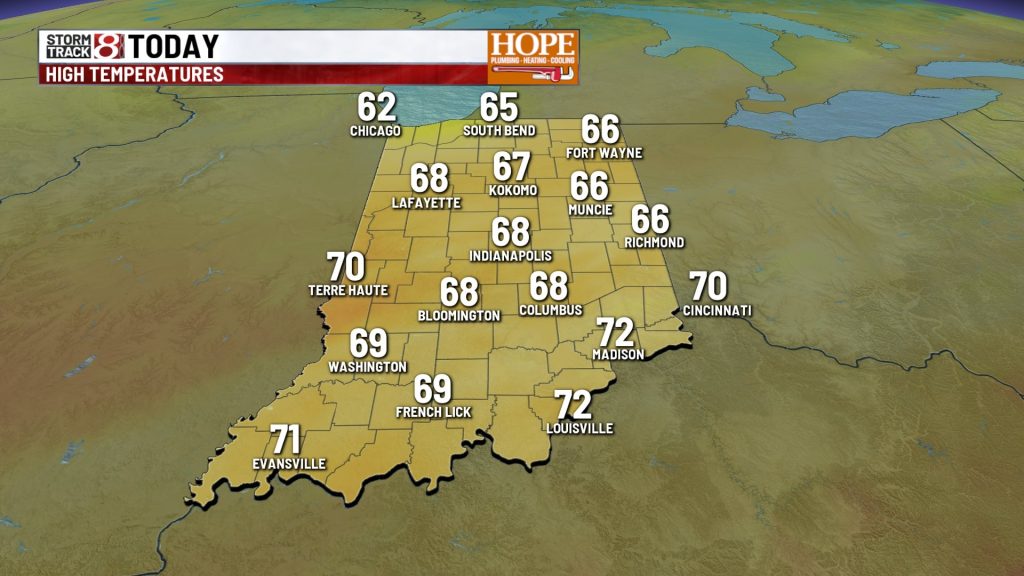
Highs will struggle to reach the upper 50s to near 60°—a noticeable drop from yesterday. Skies will remain mostly cloudy through the afternoon hours.
Tonight:
Skies clear out late with temperatures dropping through the 40s statewide. By Saturday morning, look for lows in the lower to mid 40s.
Weekend forecast:
Cooler temps on tap for the morning hours both Saturday and Sunday morning, but you can’t complain about the perfect afternoon temperatures. Highs around 70° on Saturday, and topping out around the mid 70s Sunday.
First frost potential:
The main story we’re tracking: the potential for the first patchy frost of the season late Monday night into Tuesday morning. The Muncie and Anderson area in central Indiana, along with northeastern Indiana is most likely to see temperatures dip into the mid/upper 30s. If winds go calm as expected—and they should—frost development is likely.


Looking ahead:
After the chilly start to the week, a warming trend slides in by Wednesday. Southwesterly flow will push temperatures back toward or slightly above seasonal normals.
7-day forecast:

About The Author

You may also like
-
Aces eliminate Fever in WNBA Playoffs for second straight year
-
Aces lead Fever at halftime of decisive Game 3 playoff matchup
-
Monroe County elementary students admit making social media threats
-
Gov. Braun’s diesel order could save farmers thousands of dollars
-
Indianapolis Zoo euthanizes 20-year-old lion, Zuri, after health decline