
Interactive radar | Download the WISH-TV weather app
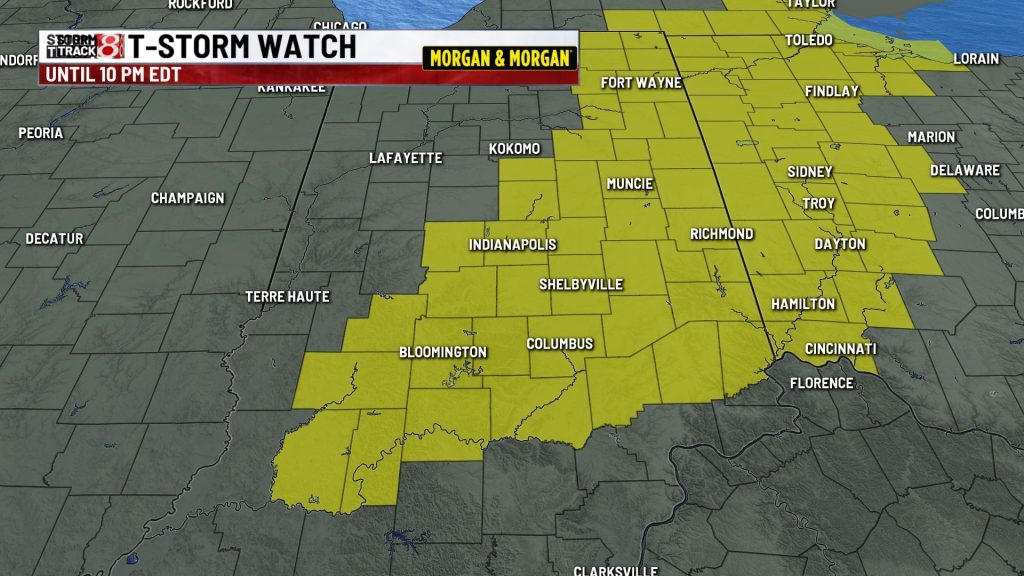
INDIANAPOLIS (WISH) — Forty-two Indiana counties were under a severe thunderstorm watch until 10 p.m. EDT Tuesday, the National Weather Service said.
Primary threats were scattered, damaging wind gusts to 70 mph, and isolated hail up to 1 inch in diameter.
The watch area includes Indianapolis and surrounding counties. The counties under the watch are Adams, Allen, Bartholomew, Blackford, Brown, Daviess, Dearborn, Decatur, De Kalb, Delaware, Fayette, Franklin, Grant, Greene, Hamilton, Hancock, Hendricks, Henry, Huntington, Jackson, Jay, Jennings, Johnson, LaGrange, Lawrence, Madison, Marion, Martin, Monroe, Morgan, Noble, Owen, Randolph, Ripley, Rush, Shelby, Steuben, Tipton, Union, Wayne, Wells and Whitley.
The watch area extends into Michigan and Ohio.
Several severe thunderstorms had popped up north of Indianapolis prior to the issuance of the storm watch at 4:35 p.m. Tuesday.
About The Author
You may also like
-
Rankings put Carmel, Fishers, Noblesville among top 20 best places to live in US
-
4 arrested after fight at Fishers Qdoba injures pregnant woman
-
Indiana Fever star Caitlin Clark named grand marshal for Indy 500
-
Indiana mayor graduates from law school in effort to address growing attorney shortage
-
New e-bike rules in Fishers aim to curb dangerous riding