
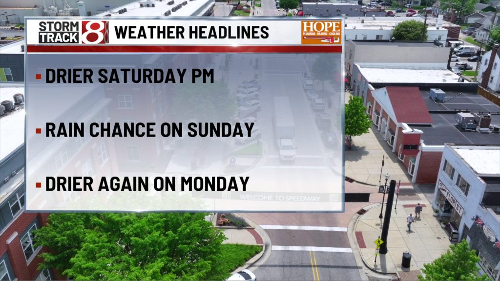
TODAY

A few leftover showers may still be around early in the morning, mainly before 10 a.m., then the trend turns quieter with mostly cloudy skies and a few brighter breaks later in the day. Highs reach the mid 70s, with a west breeze around 5 to 10 mph. Once we get past the early damp start, this looks much more manageable for afternoon plans across Indianapolis.
TONIGHT

Partly cloudy and mild, with lows near the low 60s. A light west northwest breeze around 5 mph goes nearly calm later in the evening, and the night looks quiet overall with no major weather issues.
SUNDAY
The better rain signal arrives here. Skies start with some sun through mid morning, then clouds thicken and showers become more likely during the afternoon, with a thunderstorm possible after about 2 p.m. Highs reach around 80, with a light south southwest breeze around 5 to 10 mph. For the Indy 500, the start sequence begins around 12:30 p.m. and the green flag is scheduled for 12:45 p.m. Eastern, so the better window for weather trouble looks to come later in the race rather than right at the start, though any shower or storm could still cause a delay.
SUNDAY NIGHT
Showers and a thunderstorm remain likely through the evening, then the trend is toward less rain later at night. Lows settle near the low 60s, with light wind. This does not look like an all night washout, but the evening period still carries a decent chance of wet weather.
MONDAY
Memorial Day looks warmer and quieter. Expect partly sunny skies with highs in the low 80s and only a light east northeast breeze. Compared with Sunday afternoon and evening, this is a much cleaner setup for cookouts, travel, and outdoor plans.
MONDAY NIGHT
Mostly cloudy and mild, with lows around the low 60s and a light east breeze. Dry weather should hold through the night, and this looks like a pretty quiet overnight stretch for central Indiana.
TUESDAY
Still warm and a little more unsettled later in the day. Most of the day stays mostly cloudy but largely dry, then a slight chance for showers develops with thunderstorms possible after 2 p.m. Highs reach the low 80s, with a light east southeast breeze around 5 mph. It is another day with plenty of usable time, but the late afternoon and evening trend is less settled.
TUESDAY NIGHT
A slight storm chance continues early, then the better shower chance builds late, especially after 2 a.m. Lows hold in the mid 60s, with a light east southeast breeze. This is not a high-end signal right now, but it is enough to keep late-night plans flexible.
7 DAY FORECAST

After the lingering Friday night rain and the early Saturday shower chance, the broader holiday weekend trend is for improving weather Saturday, then a more noticeable shower and thunder window Sunday afternoon into Sunday evening. Memorial Day currently looks mostly dry and warm, with highs near the low 80s. Lower-end rain chances return Tuesday, then increase more by Wednesday. Overall, temperatures look above normal for much of this stretch once we get beyond Saturday.
About The Author
You may also like
-
Kyle Busch’s family says NASCAR superstar died after severe pneumonia progressed into sepsis
-
Andretti, Johnson, Indy 500 drivers remember Kyle Busch
-
Inmate dies after altercation at Johnson County jail
-
LaPorte County deputy shot at Michigan City hospital; suspect in custody
-
Gabbard resigns as Director of National Intelligence