
TODAY

It is a cold start across central Indiana with widespread frost around through roughly 9 a.m. A Frost Advisory remains in effect through the morning, so sensitive vegetation may still need some protection early. Once we get past the chilly start, sunshine takes complete control and temperatures recover into the lower to middle 60s. Winds stay light before becoming southerly around 5 mph during the afternoon. It is definitely jacket weather to start, but Sunday becomes a pretty nice fall day once we get into the afternoon.
TONIGHT

Clear skies continue with another chilly night ahead. Temperatures fall into the upper 30s around Indianapolis with southeast winds staying very light around 5 mph. Some colder outlying locations could once again flirt with patchy frost toward Monday morning, although conditions should not be quite as cold as early Sunday.
TOMORROW
We take another step upward in temperatures while keeping all of the sunshine. Highs reach the upper 60s to around 70 degrees with winds nearly calm or around 5 mph. Any patchy early frost disappears quickly. By afternoon, Monday should be about as comfortable as you could ask for in the middle of October.
TOMORROW NIGHT
Mostly clear and cool with temperatures falling into the lower 40s. Winds remain nearly calm and there are no rain concerns.
TUESDAY
The slow warming trend continues. Expect another sunny day with highs reaching the lower 70s. Winds remain very light, generally around 5 mph or less. After the frosty weekend start, Tuesday afternoon should feel noticeably milder.
TUESDAY NIGHT
Mostly clear with lows falling into the lower to middle 40s. Winds remain nearly calm and the dry stretch rolls right along.
WEDNESDAY
By Wednesday, temperatures are back into a very pleasant range. Expect plenty of sunshine with highs in the lower to middle 70s. Winds stay light, and humidity remains comfortable. There really is not much of a weather wrinkle to find here.
WEDNESDAY NIGHT
Clear and cool with lows in the middle 40s. Winds become nearly calm with dry conditions continuing.
7 DAY OUTLOOK

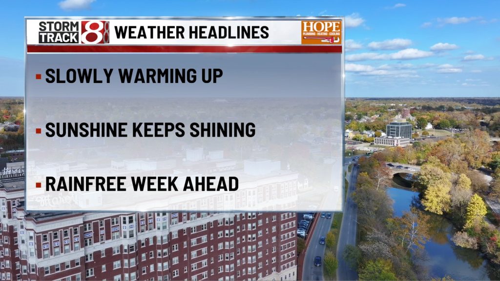
Sunday morning frost is the only real impact weather in this forecast. Once temperatures recover Sunday afternoon, central Indiana begins a long stretch of sunshine and steadily warming afternoons, climbing from the lower to middle 60s Sunday toward the lower to middle 70s by Wednesday.
The quiet pattern continues Thursday and Friday with highs generally in the lower to middle 70s and increasingly mild nighttime temperatures. Meaningful rainfall remains absent through the workweek, making this one of the calmer October stretches we have had recently.
About The Author

You may also like
-
‘All INdiana Politics’: Secretary of State candidates face off on voting reform and business portals
-
Deck collapse at off-campus Bloomington home draws emergency response, ‘several’ injured
-
UPDATE: 17-year-old in custody after shooting left one dead in Danville Saturday morning
-
IMPD investigating shooting on Indianapolis east side that left a woman in critical condition
-
Trump fires Katie Zacharia as White House press secretary after five days, advisers say