
Marcus’ 4 a.m. Wednesday forecast
INDIANAPOLIS (WISH) — Dry and cool midweek before summer-like heat builds into Indiana.
Cloud cover will fade as cooler air moves into the state.
Lingering showers are coming to an end early this morning as a cold front pushes through the state. Behind the front, cooler and drier air will funnel in, bringing some low clouds. These may linger at times, but skies should clear by mid to late morning.
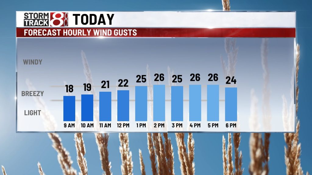
Winds will pick up as we head into the afternoon hours, gusting up to 30 mph at times. This will make for a cooler feel to the day.

High temperatures may only reach the upper 50s in northern portions of the state, while highs could climb to the low and possibly mid 70s in southern portions. In the metro area, we’re looking at highs in the mid 60s — about 8 to 10 degrees below average for this time of year.

Quiet Thursday
Another very pleasant spring day is expected with mostly sunny skies. Winds will be much lighter compared to Wednesday, and humidity will remain low. High temperatures will top out in the mid to upper 60s, slightly below average for this time of year.

Rain chances return as temperatures begin to warm
Our dry stretch will begin to break down Friday as a warm front pushes through the state. Temperatures will jump closer to average, reaching the low to mid 70s by afternoon. There are some signs that scattered thunderstorms could develop during the afternoon and evening hours Friday.

Much warmer and more humid air will surge into the state for the weekend. High temperatures on Saturday are expected to climb to the mid 80s, with readings potentially nearing 90° on Sunday.
A few pop-up thunderstorms will be possible Saturday afternoon with the unstable air and peak daytime heating. While no organized storms are expected, a few heavy downpours are likely.
A few early morning showers and thunderstorms are possible Sunday, but much of the day will remain dry as heat and humidity ramp up through the afternoon.
First 90° day of the year possible
Very warm air will push temperatures close to or even above 90° Monday afternoon, which could mark the first 90-degree day of the season. A few pop-up thunderstorms will also be possible across the state during the afternoon hours.

Storm chances ramp up Tuesday as the weather pattern remains active, with a more organized system potentially moving through the state midweek. This will bring temperatures down a bit as we head into the middle and end of next week.
About The Author
You may also like
-
Southbound US 31/Meridian closed from 106th to 96th until fall in Carmel
-
The Fashion Mall at Keystone to welcome new restaurants, retailers
-
Lawmakers to study property tax assessments ahead of 2027 session
-
Police dog aids IMPD in capture of suspect shortly after bank robbery
-
Indianapolis 500 reserved seating sells out a week earlier than in 2025