
Marcus’ 4 a.m. Wednesday forecast
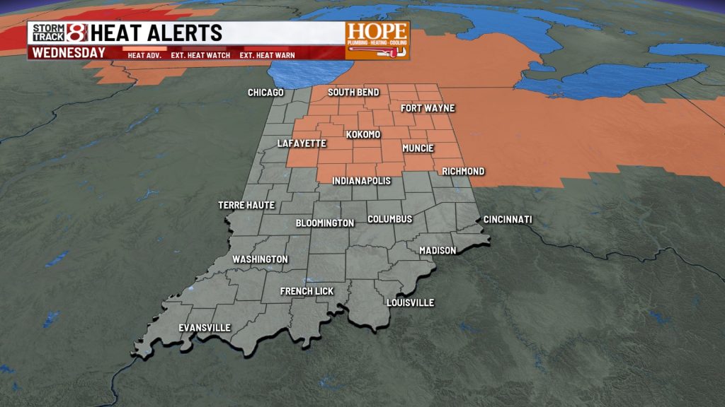
INDIANAPOLIS (WISH) — Central Indiana faces a combination of triple-digit heat indices and declining air quality Wednesday as a stagnant weather pattern lingers over the region.
Heat and Air Quality Concerns
A strong ridge of high pressure will maintain hot and humid conditions through Thursday, with afternoon highs reaching the low to mid-90s. When combined with humidity, heat index values are expected to climb between 100 and 105 degrees during peak afternoon hours.


Stagnant air trapped near the surface is causing ozone levels to rise, leading to poor air quality in parts of Indiana. People with respiratory issues are advised to limit prolonged outdoor activity today.
Storm Chances Return Friday
The oppressive heat will begin to ease late in the workweek as a disturbance moves into the region Friday, bringing an increased chance of showers and thunderstorms.
A northwest wind pattern will then guide another storm system into Indiana on Saturday, keeping rain chances elevated through the weekend.

Relief Early Next Week
Following a brief dry spell, a more potent weather system is expected early next week, likely bringing cooler temperatures behind it.
7 Day Forecast:

About The Author

You may also like
-
Fever GM defends fans, says criticism has ‘no basis in reality’
-
‘Person shot’ report at Warren Central High School on football night
-
Grand jury indicts 35-year-old man in 2006 Franklin murders case
-
Cat food investigation finds heavy metals, pesticides and plastic chemicals
-
A cold front brings rain, falling temperatures Friday | Oct. 2 , 2026