
Nov. 30 | Evening Forecast with Meteorologist Drew Narsutis
TONIGHT

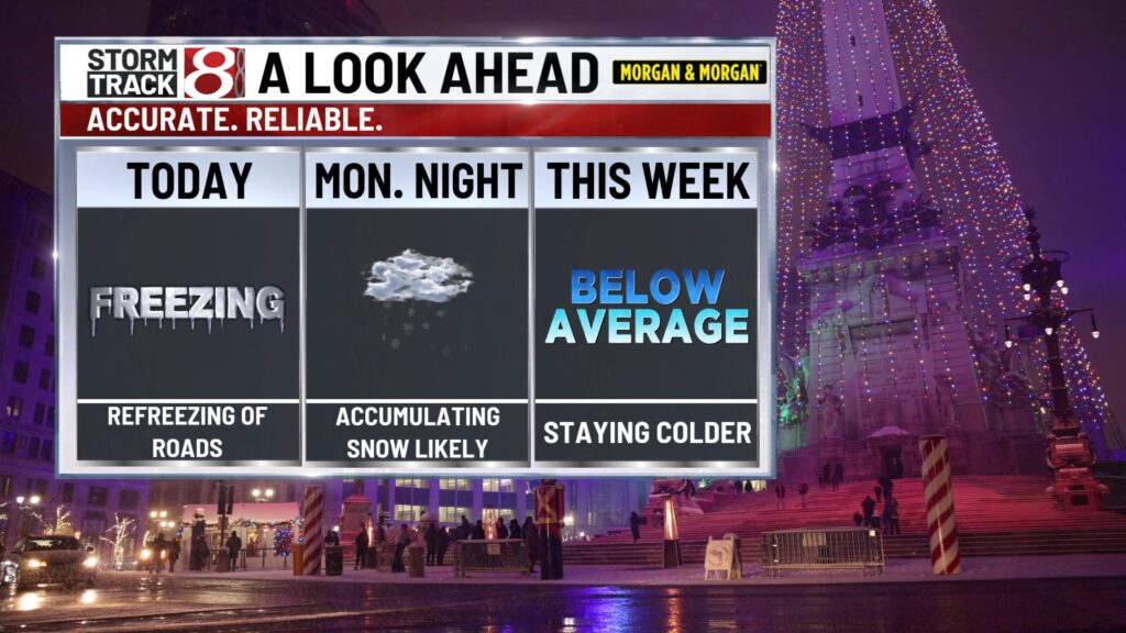
Mostly cloudy and cold, lows in the low 20s, a west wind around 5 mph becoming calm toward daybreak. A few stray flurries may linger early this evening north of Indy, but most of the night is just dry and chilly with good visibility.
TOMORROW

Cloudy and cold with a quiet start, highs in the low 30s, nearly calm wind in the morning turning east southeast around 5 mph by afternoon. A few light flakes or flurries could drift in after lunch, but most of the day stays dry, just gray and cold for the bus stop and errands.
TOMORROW NIGHT
Snow develops and becomes likely, especially late evening into the overnight, lows in the mid 20s, light and variable wind. Expect a broad area of light to moderate snow to spread across central Indiana, with general totals in the 1 to 3 inch range by Tuesday morning and slick spots for the early commute.
TUESDAY
Mostly cloudy and very cold, highs only in the upper 20s, a northwest wind around 5 to 10 mph. Any lingering light snow or flurries early fades quickly, but untreated roads and sidewalks can stay slick and snow covered in spots with wind chills stuck in the teens.
TUESDAY NIGHT
Mostly cloudy and frigid, lows in the upper teens, light and variable wind. With snow on the ground and hardly any breeze at times, temperatures drop off quickly after sunset and wind chills dip into the teens and maybe single digits in the coldest pockets.
WEDNESDAY
Partly sunny but still cold for early December, highs in the mid 30s, a south southwest breeze around 5 to 10 mph with occasional gusts up to 20 mph. Sunshine will help a bit, yet it still feels below freezing for much of the day, so layers are a must for any longer outdoor time.
WEDNESDAY NIGHT
Mostly cloudy and very cold, a slight chance for a few light snow showers before about 1 a.m., lows in the upper teens, a southwest wind around 5 to 10 mph turning northwest late. Any snow looks brief and light, but wind chills could fall close to the single digits overnight.
THURSDAY
Mostly sunny but sharply cold, highs only in the low 20s, a northwest wind around 5 to 10 mph. Even with sun, this will be one of the coldest days of the stretch, and it will feel bitter at times when you step out of the wind.
THURSDAY NIGHT
Partly cloudy and bitterly cold, lows in the mid-teens, light and variable wind. This continues the hard-freeze pattern, so plan for very cold early morning walks and any late night travel.
7 DAY FORECAST

Central Indiana settles into a true early season winter pattern with several days of below normal temperatures and multiple snow chances. Flurries fade tonight, then a more organized system brings likely accumulating snow Monday night into early Tuesday, with most guidance clustering in the 1 to 3 inch range and slick travel for the Tuesday morning drive. After that, highs run from the upper 20s to mid 30s through midweek with lows in the teens and lower 20s, and wind chills at times near or even below zero by Wednesday night. Another system may bring additional accumulating snow around Friday, with the potential for a wintry mix in parts of central Indiana into next weekend, but details on track and amounts are still fuzzy.
About The Author
You may also like
-
Fuel costs put Indiana’s family farms at risk
-
Motorcyclist dies in collision with school bus in rural Lafayette
-
Carmel woman warns others about scam calls claiming to help with pain
-
Statewide Silver Alert issued for missing 9-year-old boy in Lafayette
-
Charges filed against man accused of shooting IMPD officer in Broad Ripple