
drew 7/11/26 AM
TODAY

Mostly cloudy and seasonably warm with a chance for a few showers and thunderstorms, especially during the afternoon and early evening. Highs reach the low to mid 80s, with a light northeast breeze around 5 to 10 mph. It is not a washout, and there should be plenty of dry time, but a passing storm could briefly interrupt outdoor plans.
TONIGHT

Any leftover showers and thunderstorms gradually fade, leaving partly to mostly cloudy skies overnight. Lows settle into the upper 60s, with a light east northeast breeze. It is a much quieter setup than earlier in the week, and most of the night should stay dry.
TOMORROW
Mostly sunny and warmer with highs climbing into the mid 80s. An east breeze around 5 to 10 mph keeps the day comfortable by July standards, and this looks like one of the better days of the stretch for getting outside. Most of central Indiana should stay dry from start to finish.
TOMORROW NIGHT
Mainly clear and seasonably mild, with lows falling into the mid to upper 60s. Winds become light, and there are no meaningful weather concerns overnight.
MONDAY
Sunny and hotter, with highs reaching the upper 80s. A light southeast breeze develops during the afternoon, and humidity begins creeping back upward. After the unsettled end of the workweek, the weather settles into a more classic summer pattern.
MONDAY NIGHT
Mostly clear and warm, with lows near 70 and only a light breeze. There will be little relief from the daytime warmth, but conditions remain quiet.
TUESDAY
Mostly sunny and hot with highs approaching 90 degrees. A light south breeze around 5 mph develops in the afternoon. Heat once again becomes the main weather story, and anyone spending extended time outside will want plenty of water and a few extra breaks.
7 DAY FORECAST

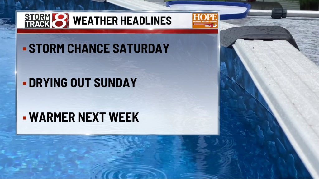
A few showers and storms are still possible Saturday, but rain chances continue to fade through the weekend. Sunday looks like one of the nicest days in the forecast, and then temperatures steadily climb again early next week with highs returning to the upper 80s and lower 90s. By the middle and latter part of next week, isolated afternoon storm chances begin creeping back into the forecast, but the bigger story becomes the return of heat and humidity across central Indiana.
About The Author

You may also like
-
Indiana State Police trooper shot near Michigan City exit on I-94
-
Building fire causes $150K in damage on Zionsville’s Main St., FBI joins investigation
-
IMPD investigating fatal shooting southeast of downtown
-
Police: Fort Wayne man cuts off penis with knife, uses it to set mother’s garage on fire
-
Republicans warn WNBA of federal scrutiny over violence against Caitlin Clark