
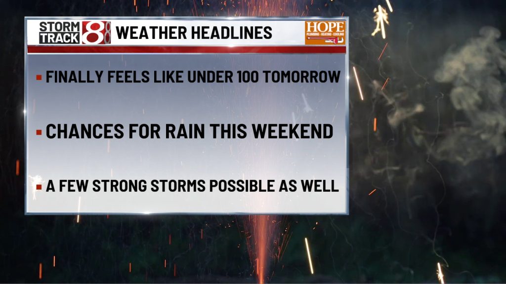
TODAY

Sunny and very hot with just a small late-day storm chance. A slight chance of some patchy fog before 8 AM. Highs reach the mid 90s, with a light southwest wind around 5 to 10 mph. Heat index values near 105 will make this the toughest weather issue of the day, and an Extreme Heat Warning remains in effect through Friday evening, so outdoor plans will need extra water, shade, and more breaks than usual.
TONIGHT

Partly cloudy and warm with a chance for a few showers and thunderstorms late, mainly toward daybreak. Lows hold near the mid 70s, with a west southwest breeze around 5 mph becoming calm in the evening. It will not be a washout overnight, but there is enough of a late signal to keep the forecast from staying fully quiet.
TOMORROW
Independence Day stays hot and increasingly unsettled, especially later in the day. Highs reach the low 90s, with a light southwest breeze around 5 mph. A few storms may pop up at almost any point, but the better chance looks to come after mid afternoon, and any storm that develops could bring heavy downpours, hail, and damaging wind gusts.
TOMORROW NIGHT
Showers and thunderstorms remain likely early in the evening, then coverage trends downward later at night. Lows fall to the low 70s, with a west wind around 5 mph becoming calm in the evening. It does not look like nonstop rain, but evening fireworks plans will need a weather eye.
SUNDAY
Partly sunny, warm, and still somewhat unsettled with storms becoming more likely as the day goes on. Highs reach near 90, with calm wind becoming west southwest around 5 mph in the afternoon. Much of the first half of the day looks usable, but the second half grows more questionable as showers and thunderstorms become more common.
SUNDAY NIGHT
Showers and thunderstorms remain likely early, then fade back later in the evening and overnight. Lows settle near 70, with a west wind around 5 mph becoming calm in the evening. It should turn quieter with time, and the air will feel a little less oppressive than the previous few nights.
MONDAY
Partly sunny and still warm, but not as extreme, with only a low-end afternoon storm chance. Highs reach the mid 80s, with calm wind becoming west northwest around 5 mph in the afternoon. This looks like a more manageable summer day overall, with longer dry stretches and slightly lower humidity.
MONDAY NIGHT
Partly cloudy and seasonably mild with just a very small early evening storm chance. Lows settle in the upper 60s, with a north northwest breeze around 5 mph becoming calm in the evening. Quiet weather should win out for most of the night.
TUESDAY
Mostly sunny and warm with a low-end chance for a pop-up shower or thunderstorm. Highs reach the mid 80s. It is another day that looks largely usable, with heat still around but not as punishing as Friday or Saturday.
7 DAY FORECAST

The biggest weather concerns are the dangerous heat on Friday and the storm chances from late Friday night through the holiday weekend. Friday is likely the hottest day of this stretch, then the Fourth and Sunday both carry scattered storm chances that could briefly turn strong. By Monday and Tuesday, temperatures ease back some into the 80s and rain chances become lower and more isolated, so early next week looks less extreme overall even though it still stays solidly summerlike.
About The Author
You may also like
-
Masked thieves hit south side fireworks store days before Fourth of July
-
Man dies after health incident at Holiday World, coroner confirms
-
Heat wave peaks Friday, relief expected next week | July 2, 2026
-
Cellphone ban and child protection laws take effect in Indiana
-
Data center zoning proposal heads to Indianapolis council