
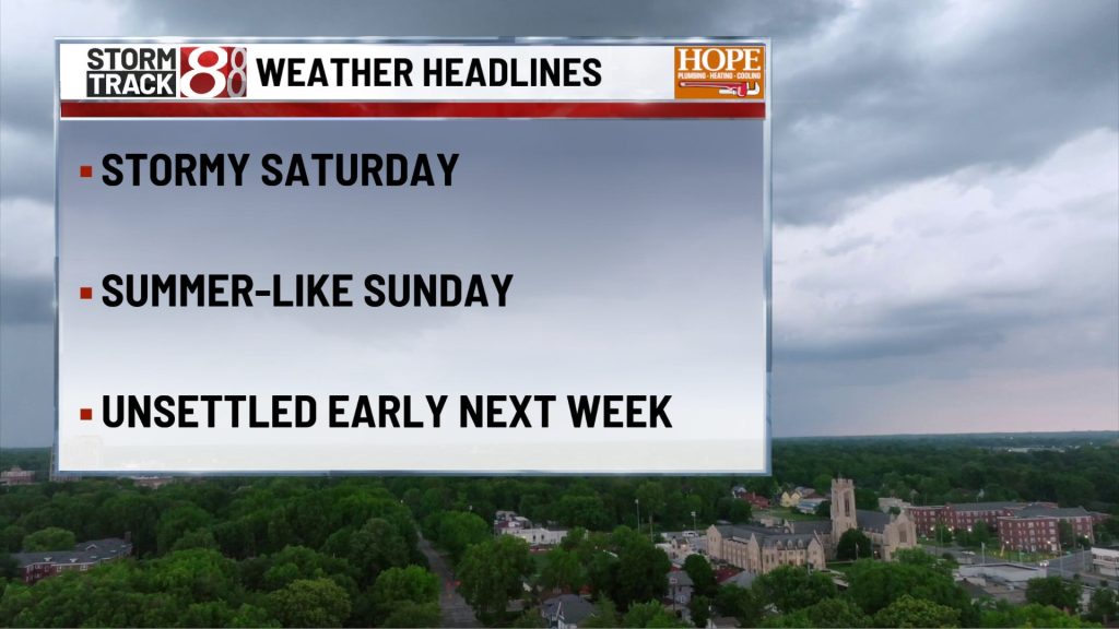
DREW 5/16/26 pm
TONIGHT

Scattered showers and thunderstorms remain possible this evening, then coverage should gradually thin overnight. Lows settle in the lower 60s, with a south wind easing back to around 5 to 10 mph. It will not rain all night everywhere, but a few neighborhoods could still hear thunder well after dark, so this evening still needs a weather eye.
TOMORROW

A very warm and increasingly humid day takes shape after any morning clouds thin out. Highs jump into the upper 80s, with a south southwest breeze around 10 to 15 mph and gusts up to 25 mph. Much of the day looks dry, but a few showers and thunderstorms may begin to pop after mid afternoon, so late day outdoor plans will need a little flexibility.
TOMORROW NIGHT
A few showers and thunderstorms may linger into the evening, then the night turns mostly quiet and muggy. Lows hold in the upper 60s, with a south breeze around 10 mph. It is a warm overnight stretch for mid May, and most hours should stay dry once the late day storm risk fades.
MONDAY
Very warm again, with a mix of clouds and some sunshine through much of the day. Highs reach the lower 80s, with a south southwest wind around 10 to 15 mph and gusts up to 25 mph. A thunderstorm chance returns in the afternoon, but this still looks like a day with plenty of dry time before the next more organized system gets closer.
MONDAY NIGHT
Mild and somewhat unsettled, with a chance for showers and thunderstorms through the night. Lows stay in the upper 60s, with a south wind around 10 mph and gusts up to 20 mph. This does not look like the main severe window, but it is warm, sticky, and not fully quiet either.
TUESDAY
Warm, breezy, and more active as the next front approaches. Expect more clouds around, with showers and thunderstorms becoming more likely as the day goes on, especially later in the afternoon. Highs reach the lower 80s, with a south southwest wind around 10 to 15 mph and gusts up to around 30 mph. A few storms could produce localized damaging wind, so this is a day to watch closely.
TUESDAY NIGHT
This is the main weather period in the back half of the run. Showers remain likely, thunderstorms are possible, and the front should be crossing the area overnight. Lows fall to around 60, with a southwest wind around 10 mph and a few higher gusts. Late evening plans will need flexibility, and this period carries the better signal for stronger storms than Monday night does.
WEDNESDAY
A few showers and thunderstorms may still be around, especially early, then the trend turns cooler and less humid as the day goes on. Highs top out in the upper 60s to near 70, with a west wind around 10 mph. The second half of the day should look and feel much better than the first.
WEDNESDAY NIGHT
Skies continue to quiet down, and cooler air settles in for the night. Lows drop into the upper 40s, with a light north to northwest breeze. After the warm and stormy start to the week, this is a much calmer finish to the run.
7 DAY FORECAST

The pattern stays active and much warmer than normal through Tuesday, with highs well into the 80s Sunday through Tuesday and periodic storm chances mixed in. Sunday and Monday each carry more scattered, hit or miss storm chances, while Tuesday into Wednesday looks like the more organized storm window as a front moves through. After that front passes, temperatures step back down into the upper 60s by Wednesday and Thursday with lower humidity and quieter weather returning. Confidence is highest in the hot Sunday through Tuesday stretch and in the cooler turn after midweek, while the exact timing of the strongest Tuesday night storms could still shift some.