
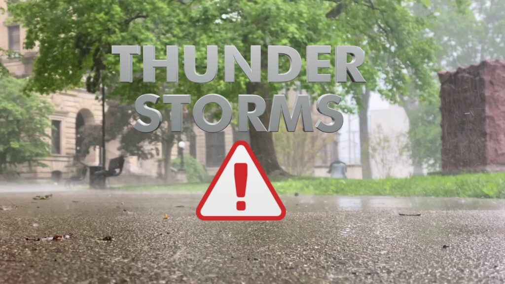
INDIANAPOLIS (WISH) — Wet and cool weather pattern sets up through the end of the week.
Today:
A broad area of convection is moving into the state this morning. A few strong storms have been noted in the extreme southwestern portions of the state, where a tornado watch is in effect.
Expect widespread showers and thunderstorms through much of the morning. For central Indiana, storms should remain below severe limits, but heavy downpours and gusty winds are possible, especially late this morning.


The consistent rain should taper off by early afternoon, potentially destabilizing the atmosphere briefly. This could allow for stronger storm development later this afternoon. Much of central and southern Indiana faces a slight risk for severe storms (Level 2 out of 5). All modes of severe weather are possible, with damaging winds being the primary concern. The timeframe for severe weather is likely between 2 PM and 9 PM.
As this system moves through, temperatures will cool significantly. Highs in the metro area may not exceed the 60s today.


In addition to severe weather, flooding is a concern. Many areas could receive 1 to 2 inches of rain, with some locations exceeding 2 inches today.

Tuesday night:
Scattered showers and thunderstorms will likely persist into the early to mid-evening. The upper-level low driving the rain will drift north, eventually pulling the main rain shield out of the state. However, isolated showers could linger overnight. Expect cloudy skies with lows in the upper 50s to lower 60s.

Wednesday:
Rain showers and clouds will linger into Wednesday. While rain will be less heavy and consistent than on Tuesday, it will create a gray, damp, and cool afternoon. Highs will reach the mid-60s.


Thursday:
Strong northwest flow will continue into Thursday, making it the coolest day of the extended forecast. Dry conditions are expected for much of the day, though isolated showers are possible under mostly cloudy skies. Highs will range from the upper 50s to lower 60s.


Extended forecast:
Dry weather is expected for Carb Day on Friday, with partly cloudy to mostly sunny skies. Temperatures will run about 10°F below average, with highs in the mid-60s.
Dry weather should continue into the start of the holiday weekend. Northwest flow will keep temperatures below average on Saturday, with highs in the mid-60s under mostly sunny skies.
Temperatures will rebound slightly for Race Day on Sunday, with highs near 70°F. While there is some uncertainty in the models, the forecast currently leans toward a mostly dry day. If rain occurs, it would likely be confined to the southern third of the state. Precipitation chances cannot be entirely ruled out, so continue monitoring updates as Race Day approaches.

Slightly higher rain chances emerge for Memorial Day on Monday, but the holiday does not appear to be a washout. Highs will hold in the lower 70s.
About The Author
You may also like
-
Anthony Richardson Sr. opens up about dealing with pressure
-
63-year-old in critical condition after downtown Logansport stabbing
-
2 dead, including 17-year-old, in fatal Whitley County crash
-
8.8 magnitude Russian earthquake picked up faintly on Bloomington seismograph
-
NTSB: Army chopper in fatal midair crash with plane was above altitude limit