
July 17 | Evening Forecast with Chief Meteorologist Keith Gibson
INDIANAPOLIS (WISH) — We’re gearing up for an active weekend with waves of showers and storms after we deal with showers, downpours, and storms into Thursday night. Then, all eyes are on sweltering conditions next week with an impending hot dome.
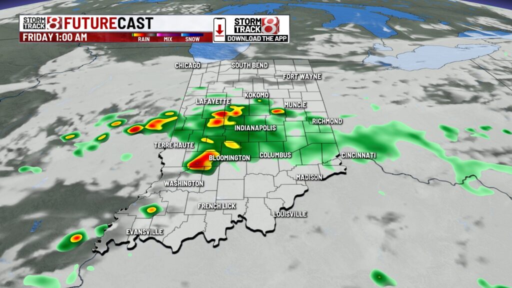
Thursday night: Showers and storms expected at times with bouts of heavy rainfall near/south of I-70. Local flooding issues may evolve as some locations could get a quick 2-3″+ of rain. Lows in the upper 60s.


Friday: We’ll end the workweek on a warm and humid note with plenty of sunshine. Can’t rule out some spotty showers and storms at times during the day and night. Highs in the mid 80s.


Unsettled weekend: Activity ramps back up this weekend with scattered to potentially numerous showers and storms at times. This will only elevate flooding concerns with some areas potentially receiving an additional 2-3″+ from Saturday into Monday.

We’re also watching for the threat of strong to severe storms late Saturday with what could be a storm complex that dives into central Indiana. Wind is the primary concern. For those who are heading to any WNBA all-star activities and/or the game itself, keep close tabs with radar. Highs in the mid 80s for Saturday and Sunday.


7-Day Forecast: The story by mid to late next week will shift towards the possibility of us receiving the most miserable air we’ve had this year. A hot dome looks to build in and lead way to low to mid 90s high temperatures. In tandem with dew point values possibly pushing near 80 for some locations, heat index levels are set to be 100+. So, we’re heading towards heat alert territory next week. Along with this upcoming heat, rain and storm chances will be reduced to more of the spotty pop-up type. However, we’ll monitor how this hot dome evolves because there could be storm clusters that ride around the edge of it next week into next weekend. All in all, prepare for ugly conditions next week.


About The Author
You may also like
-
Indiana SAT scores tick up slightly but still trail college-ready goals
-
Zaire Franklin provides injury update before Colts training camp
-
Community meeting to discuss Martindale’s historic preservation efforts
-
Sunny Tuesday, multiple days in the 90s ahead | July 22, 2025
-
‘Pacer in the Pace Car’: Pascal Siakam named honorary Brickyard 400 Pace Car driver