
Marcus’ 4 a.m. Wednesday forecast
INDIANAPOLIS (WISH) — Isolated strong to severe storms are possible later this afternoon through early evening.
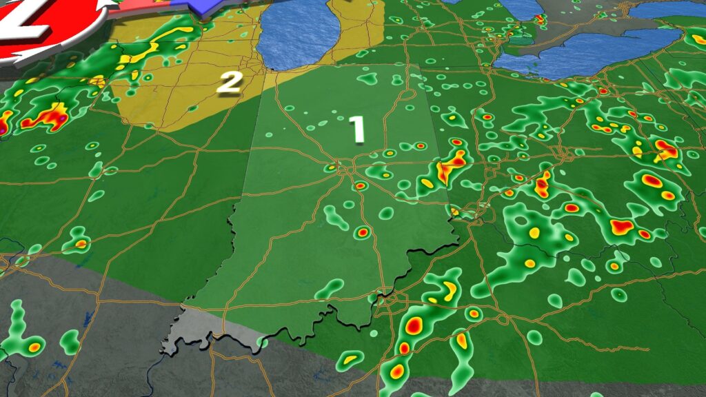
Today:
An upper-level impulse and a weak surface trough will move through the region today. These have already triggered a few isolated thunderstorms this morning, but we expect more numerous scattered showers and thunderstorms this afternoon. Heavy rain and localized flooding are possible, with a low risk of severe weather, including damaging straight-line winds.
The window for severe storms will be between 1 PM and 7 PM for the eastern half of the state.

Meanwhile, expect another very warm and humid day with highs in the mid to upper 80s and heat index values in the low to mid 90s.
Thursday:
A cold front moving through the state on Thursday will trigger numerous showers and thunderstorms, driven by afternoon heating.
There is another threat of severe storms, mainly in the southern portions of the state, with the potential for damaging straight-line winds on Thursday afternoon.
High temperatures will reach the mid to upper 80s.
Friday:
Storm coverage should be relatively low on Friday around Central Indiana, with the highest chances of rain in the southern third of the state.
Soggy weekend ahead:
Scattered showers and thunderstorms are expected both days this weekend, primarily driven by afternoon heating. Heavy downpours are likely with frequent lightning. Temperatures will remain steady with highs in the mid to upper 80s.
7 day forecast:
Longer-range models indicate a heat wave building as we head into next week. Highs in the 90s, combined with very elevated dewpoint levels, may lead to the hottest temperatures of the season by the middle of next week.

About The Author
You may also like
-
Indiana Task Force 1 returning home after 18 days of flood recovery in Texas
-
IMPD: Man dies after shooting on West 29th Street
-
Fire at Meridian Towers Apartments displaces residents
-
Indianapolis to shut down homeless encampment in Fountain Square
-
Lawrence honors its mayors on 65th anniversary of first election