
July 27, 2025 evening forecast with Drew Narsutis
TONIGHT

Scattered thunderstorms will gradually wind down this evening, though a stray downpour could linger. Expect mostly cloudy skies overnight with lows in the mid-70s. Winds from the southwest around 5 mph, becoming calm late.
TOMORROW

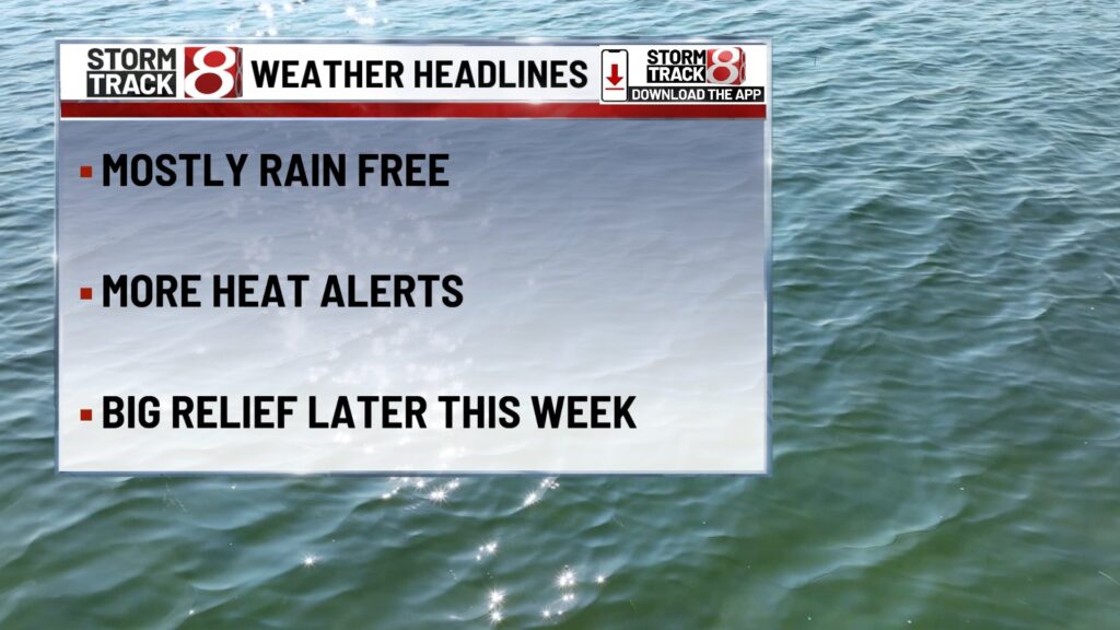
Dangerous heat remains the top concern as highs climb into the low 90s with heat index values pushing 100 to 105. A few isolated storms could bubble up in the afternoon, but most areas stay dry. Light winds becoming west-southwest near 5 mph.
TOMORROW NIGHT
Partly cloudy and muggy with lows around the upper 70s. Light west breeze continues, with calm patches possible overnight.
TUESDAY
Still hot and humid, with highs in the mid-90s and the heat index again approaching 105 in some spots. A pop-up storm is possible after 2 PM, but overall storm chances remain low. Winds light out of the northwest.
TUESDAY NIGHT
A slight chance of showers or rumbles of thunder under partly cloudy skies. Warm again, with lows in the mid-70s. Winds stay light and variable.
WEDNESDAY
Thunderstorm chances increase in the afternoon as a cold front begins to approach. Still hot, with highs near 90 and sticky humidity lingering. North winds near 5 mph may help a bit, but any stronger storm could bring downpours and gusty winds.
WEDNESDAY NIGHT
Scattered storms continue through the evening with mostly cloudy skies. It’ll feel just a bit cooler overnight with lows dropping into the upper 60s. Winds from the northeast around 5 mph.
THURSDAY
A few lingering storms possible before 2 PM as the front pushes through. Otherwise, skies turn partly sunny with a welcome drop in humidity. Highs top out in the upper 70s with northeast breezes around 10 mph.
THURSDAY NIGHT
Partly cloudy and cooler than recent nights. Lows fall into the low 60s with a light northeast wind around 10 mph.
7 DAY FORECAST

Monday through Wednesday brings more hot and steamy conditions, with daily highs in the 90s and feels-like temperatures near or above 100. Spotty storms may develop during the afternoons, but storm chances increase more substantially by Wednesday as a front pushes toward the region. This front brings scattered thunderstorms late Wednesday into early Thursday, followed by a refreshing break. By Thursday afternoon and into Friday, cooler and drier air settles in, with highs dipping into the 70s and overnight lows near 60. It’s shaping up to be a much more comfortable start to August.
About The Author
You may also like
-
The Morning Bell: Avon Community Schools kicks off new year with renovated facilities
-
Indiana teacher balances lesson plans and wrestling matches
-
Corporation for Public Broadcasting to shut down after federal funding cuts
-
Braun announces state partnerships with federal immigration enforcement
-
New name, expanded mission: EightDown Festival celebrates Black business and culture