
TONIGHT

A quiet and comfortable night will continue across central Indiana as high pressure remains in control. Skies will be mostly clear with a few high clouds possible, along with some haze aloft from lingering Canadian wildfire smoke. Winds will be light from the northeast around 5 to 10 mph. Temperatures will fall into the upper 50s to low 60s, providing another refreshing night for outdoor plans or open-window sleeping.
TOMORROW

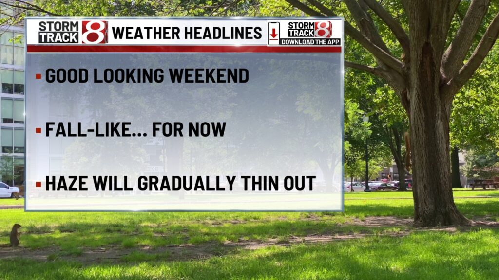
Another beautiful day is expected, with plenty of sunshine and highs reaching the lower 80s for most locations. Skies may have a light hazy appearance due to smoke aloft, but air quality at the surface should remain unaffected. Winds will be light from the east at 5 to 10 mph. Humidity levels will still be comfortable, making for an excellent day for outdoor sports and events.
TOMORROW NIGHT
The last of the very pleasant nights arrives, with clear skies early and some clouds developing late as moisture begins to return. Lows will again fall into the low 60s, with a few cooler pockets in the upper 50s in rural areas. Winds will be light from the southeast at 5 mph.
MONDAY
A transition day as humidity begins to rise and clouds become more noticeable, especially during the afternoon. A few scattered showers or thunderstorms may develop in the southern half of the area, but much of central Indiana will stay dry. Highs will reach the low to mid 80s, with winds from the south at 5 to 10 mph.
MONDAY NIGHT
Partly cloudy skies with a mild and more humid feel. Lows will stay in the mid to upper 60s. An isolated shower or thunderstorm cannot be ruled out, mainly south of Indianapolis. Winds will be light from the south at 5 mph.
TUESDAY
The more typical August pattern settles in, with partly sunny skies and scattered afternoon and evening thunderstorms possible. Highs will reach the mid 80s with humidity continuing to climb, making it feel more like the upper 80s to near 90. Winds will be from the southwest at 5 to 10 mph.
TUESDAY NIGHT
Partly cloudy skies with mild and humid conditions. Lows will hold in the upper 60s to near 70. Any lingering storms should fade after sunset, leaving a quiet overnight. Winds will be light from the southwest at 5 mph.
WEDNESDAY
Warm and humid with highs near 90 and heat index values in the low to mid 90s. Expect a mix of sun and clouds with scattered thunderstorms possible in the afternoon and evening. Winds will be from the southwest at 5 to 10 mph.
WEDNESDAY NIGHT
Partly cloudy skies with warm and muggy conditions. Lows will remain in the lower 70s. A few isolated storms may linger into the early overnight hours before dissipating.
7 DAY FORECAST

Sunday will be another beautiful day with sunshine, low humidity, and highs in the lower 80s. Monday will bring a gradual increase in humidity and clouds, with a slight chance of a shower or storm in the south. Tuesday through Thursday will feature more typical summer weather with highs in the mid to upper 80s to near 90, higher humidity, and scattered afternoon storms. Late week into next weekend looks hotter and more humid, with highs around 90 and the heat index into the mid to upper 90s. Storm chances will remain scattered each day.
About The Author
You may also like
-
Turning more humid this week | Aug. 3, 2025
-
Pedestrian struck on west side of I-465, right 3 lanes closed
-
Caitlin Clark ruled out of 7th straight game with groin injury
-
Without Clark, Fever hit franchise milestone for first time in 10 years
-
Person fatally shot near Family Dollar at Michigan Road, 60th Street