
drew 9/6/26 pm
TONIGHT

Clear and comfortable conditions continue across central Indiana. Temperatures fall into the lower 60s with northeast winds around 5–10 mph. Humidity remains relatively low and rain is not expected.
TOMORROW

Excellent weather continues for the holiday. Expect sunny skies with highs in the lower to middle 80s. East to northeast winds remain around 5–10 mph, and comfortable humidity should make for a very pleasant afternoon. Outdoor plans should have essentially no weather concerns.
TOMORROW NIGHT
Mostly clear and mild with lows falling into the middle 60s. East to northeast winds stay around 5 mph. Dry conditions continue overnight.
TUESDAY
Summer warmth begins returning quickly as winds turn more southerly. Expect plenty of sunshine with highs reaching the upper 80s to around 90 degrees. Humidity gradually increases, although conditions should remain less oppressive than the heat experienced late last week. South to southwest winds stay around 5–10 mph.
TUESDAY NIGHT
Partly cloudy, warmer and increasingly humid with temperatures only falling to around 70 degrees. South winds remain around 5 mph. Rain is not expected.
WEDNESDAY
A brief return to hot summer weather arrives. Expect mostly sunny skies with highs reaching the lower to middle 90s. Humidity increases as well, making the afternoon noticeably more uncomfortable. Southwest winds strengthen to around 10–15 mph with occasional gusts near 25 mph. Most of the daytime hours should remain dry, with the better chance for storms holding off until later.
WEDNESDAY NIGHT
Shower and thunderstorm chances increase substantially as a cold front approaches central Indiana. Rain becomes likely during the evening and overnight, with lows falling to around 70 degrees. Southwest winds around 5–10 mph gradually turn more westerly. Some locally heavy rainfall will be possible in thunderstorms, but there is not currently a clear signal for a widespread severe-weather event.
7 DAY OUTLOOK

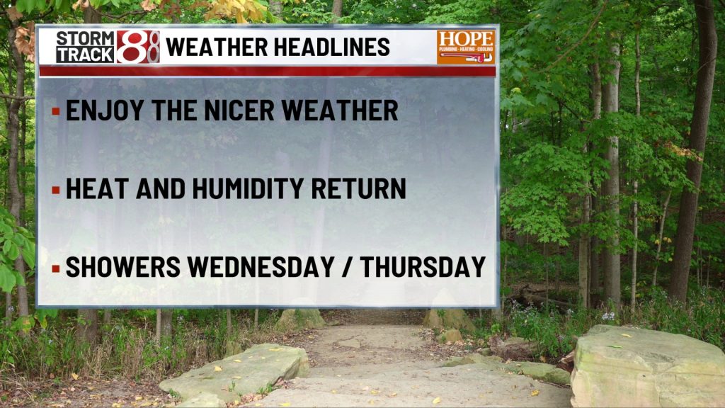
Comfortable weather continues through Labor Day with sunshine, lower humidity and highs in the lower to middle 80s. Temperatures climb quickly Tuesday, reaching around 90 degrees before a brief surge into the lower to middle 90s Wednesday. The next meaningful weather change arrives Wednesday night into Thursday as a cold front brings showers and thunderstorms across central Indiana. Rain chances remain elevated into at least Thursday morning before gradually decreasing during the afternoon. Much cooler weather follows the front. Highs fall back into the lower 80s Thursday and Friday with overnight lows around 60 degrees. Friday currently looks mostly dry and comfortable.
The quiet stretch may be relatively short-lived. Another disturbance could bring isolated showers Friday night, followed by additional shower and thunderstorm chances Saturday into Sunday. Temperatures also begin warming again next weekend, with highs returning to the middle 80s. Overall, the week features a pleasant Labor Day, a quick burst of summer heat Tuesday and Wednesday, then storms Wednesday night followed by another noticeable cooldown.
About The Author

You may also like
-
5 dead after Amazon cargo aircraft overruns runway in Miami, striking multiple vehicles
-
19-year-old wounded in shooting near IU Bloomington
-
IMPD: Motorcyclist dies after trying to pass 2 vehicles on city’s south side
-
Indiana leads North Texas 24-6 at halftime of the season opener
-
Some Lawrence businesses suffer after ICE raid in shopping plaza