
Drew Friday am Wx
TODAY

We start off under mostly cloudy skies that persist into the early morning, keeping temperatures from climbing quickly. Expect highs to reach the upper 70s, held in check by that lingering cloud cover. A light east-northeast breeze near 5 mph accompanies the milky skies, it’s a gentle, mellow kind of Friday, still comfortable and hinting at a transition.
TONIGHT

Clouds begin to taper off later in the evening, leading to mostly clear skies by overnight. Temperatures drop into the low 60s, carried along by a light east breeze around 5 mph. The air feels crisp and fresh, an easygoing night to enjoy quietly at home.
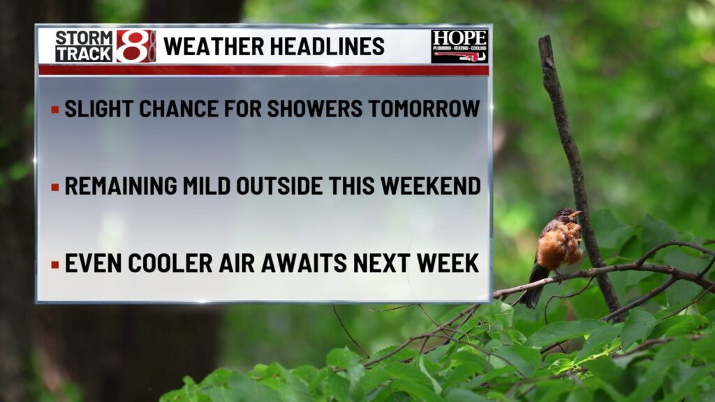
TOMORROW
Morning sunshine ramps up quickly, ushering in a warmer afternoon with highs near 80. Interval clouds develop through the day, and humidity edges upward just a touch, but it remains pleasantly summery. A light southwest breeze around 5 mph adds texture and breeze to the scene, it’s a great day for an outdoor errand or a peaceful walk.
TOMORROW NIGHT
Dry and mild continues overnight, with skies scattered to mostly clear. Lows drop into the low 60s, and light, variable breezes add a cool finishing touch to the evening, it’s a night for porch plans or staying comfy under a light blanket.
SUNDAY
A subtle shift to cooler and less humid air arrives. Sunshine dominates with highs dipping into the mid-70s, reminding you of early fall. A gentle northwest breeze near 5 mph carries that crisp feel, refreshing, pleasant, and low-effort perfect.
SUNDAY NIGHT
It’s a truly comfortable overnight with lows in the mid-50s, under clear skies. Light, variable winds make it feel cleaner, drier, and easy.
MONDAY
Warming slightly but still seasonal, highs return to the low 70s, with mostly clear skies giving you a subtle hint of early October. Northwest breezes near 5 mph stay at play, ideal for anyone trying to savor that moment before summer fully loosens its grip.
MONDAY NIGHT
Dry air continues to influence the night, sending temps into the low 50s under mostly clear skies and light, variable breezes, that’s mature-chill territory, great for a window-open night.
TUESDAY
Early fall air holds strong, with highs again in the low 70s. Sunshine remains abundant, and winds stay light and variable. You’ll notice the humidity stays noticeably low, textbook comfortable, transitional weather.
7 DAY FORECAST

We begin the run with slightly cool, cloud-moderated days, then ease into weekend warmth with seasonal highs around 80 and pleasant humidity. Sunday ushers in a taste of early fall, drier air, lower humidity, crispness in the breeze. That pattern holds into early next week with highs in the low 70s, sunny skies, and ideal comfort. A clear transition from summer’s stick to autumn’s crisp offers a narrative arc you can build on for your next runs.
About The Author
You may also like
-
Missing 16-year-old boy from Franklin last seen in Missouri
-
Indiana Fever players champion women’s health care at PAC fundraiser
-
California Gov. Newsom signs legislation calling special election on redrawn congressional map
-
Managed Health Services invests $1.2 million to enhance youth mental health in Indiana
-
Anderson man convicted of fatally shooting wife