
Thu evening forecast – Jul 24, 2025
INDIANAPOLIS (WISH) — As anticipated, Thursday was full-on ugly with the heat and humidity. Some locations had heat indices push near or over 110.
We will stay gridlocked with this sweltering pattern through the final weekend of July with increased rain/storm chances.
Heat advisories have also been extended through Friday across central Indiana.
Thursday night: Very warm and muggy into tonight. A cluster of showers and storms are possible mainly through northern Indiana into early Friday morning. There is a risk for isolated strong to severe storms in that region for damaging wind.


Lows in the mid 70s.


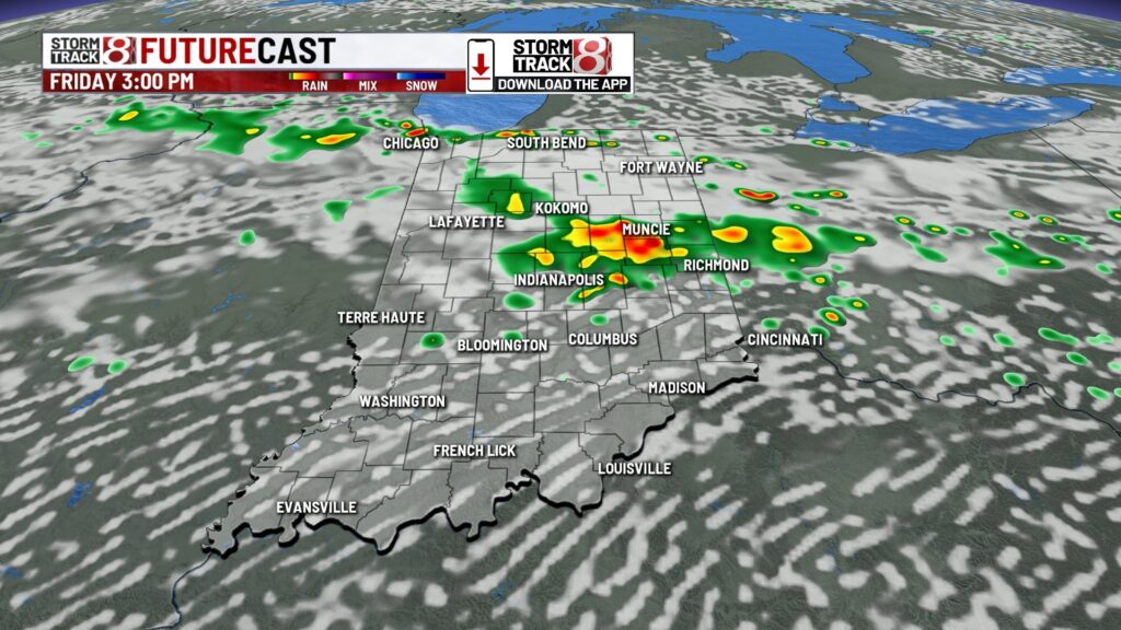
Friday: A more active day will emerge for areas mainly near and north of I-70. On and off scattered showers/storms are expected at times as a front slowly moves into the region. Localized flooding will be a concern.


Expect another miserably hot and muggy day with highs in the upper 80s to low 90s. Peak heat indices will be up to 100-105+.


Saturday: Friday’s forecast pretty much repeats for Saturday with main concentration of on/off showers and storms near/north of I-70. Isolated strong to severe storms are possible with damaging wind the main threat. Highs in the low 90s with peak heat indices over 100.


7-Day Forecast: We’ll keep this miserable pattern around into early next week with continued daily rain and storm chances. Highs in the low to potentially mid 90s and mid-upper 70s dew points will continue to pump out triple digit heat indices. There are some signals of relief from the heat and humidity ahead by late next week as we enter August. Model uncertainty is too high right now to have more confidence in this possible cooler pattern emerging.

About The Author
You may also like
-
Caitlin Clark trading card breaks record, selling for $660,000
-
Jeffrey Epstein’s former girlfriend completes interviews with Justice Department
-
Heat lingers as weekend storms brew | July 25, 2025
-
Larson eyes history in return to IMS for Brickyard 400
-
Felon with history of domestic violence kills wife in Indianapolis