
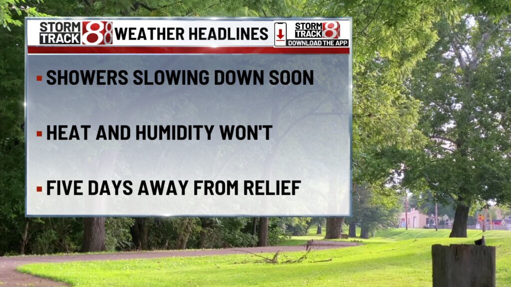
TONIGHT

A few evening storms remain possible, especially north of I-70 as lingering energy drifts through the region. While most storms should fade by late evening, downpours and isolated gusty winds are still possible early on. Otherwise, expect a very warm and muggy night with lows in the upper 70s. Winds light from the southwest around 5 mph.
TOMORROW

Heat and humidity remain locked in, but a nearby boundary could help spark another round of scattered afternoon and evening thunderstorms, especially near and just south of I-70. Expect highs in the upper 80s to near 90, with heat index values again nearing 100. A few storms could bring localized downpours and gusty winds. Winds west-southwest around 5 mph.
TOMORROW NIGHT
Any leftover storms should fade early, leaving behind partly cloudy and sultry conditions. Lows hold steady in the mid to upper 70s. Winds remain light out of the southwest near 5 mph.
MONDAY
Oppressive heat continues with mostly sunny skies and only a slim chance of a stray afternoon shower. Highs soar into the mid-90s, and heat index values may top 105 in spots. Winds remain light and variable, becoming west near 5 mph by afternoon.
MONDAY NIGHT
Mostly clear to partly cloudy with another very warm and humid night on tap. Lows hover in the upper 70s. Winds from the northwest near 5 mph before calming down overnight.
TUESDAY
Likely the hottest day of the stretch, with highs in the mid-90s and heat index values again exceeding 105. Storm chances remain minimal through sunset. Winds will be light and variable.
TUESDAY NIGHT
Partly cloudy and still steamy. Lows in the upper 70s with a hint of a breeze from the north around 5 mph.
WEDNESDAY
The pattern begins to shift as a cold front approaches. Expect scattered afternoon thunderstorms, some of which could be strong with heavy rain and gusty winds. Highs settle back into the low 90s, but it’ll still feel hot and sticky ahead of the front. Winds becoming north-northwest around 5 mph by afternoon.
WEDNESDAY NIGHT
Storms remain possible into the evening and overnight hours as the front slowly presses south. Some storms may produce locally heavy rainfall and strong winds. Lows finally fall to the upper 60s. Winds north-northeast around 5 mph.
7 DAY FORECAST

After another sticky Sunday with scattered storms, intense heat ramps back up to start the workweek. Monday through Wednesday will feature highs in the 90s, heat indices pushing 105–110, and only slight storm chances until a front approaches midweek. That front brings a better shot at storms on Wednesday and early Thursday. Behind it, a refreshing drop in temps and humidity arrives just in time for next weekend, with highs closer to 80 and cool, crisp mornings in the 50s, potentially our most comfortable stretch since early June. Expect warm and gradually more humid conditions to return early the following week.
About The Author
You may also like
-
Caitlin Clark to miss fourth straight game on Sunday
-
Notre Dame study reveals PFAS in reusable feminine hygiene products
-
Multiple people stabbed at Michigan Walmart; suspect arrested
-
HBCU Cookout in Indianapolis brings together alumni and students
-
Oak Ridge Boys to return to Wabash for Christmas tour