
Ryan’s 7 AM forecast 7/20
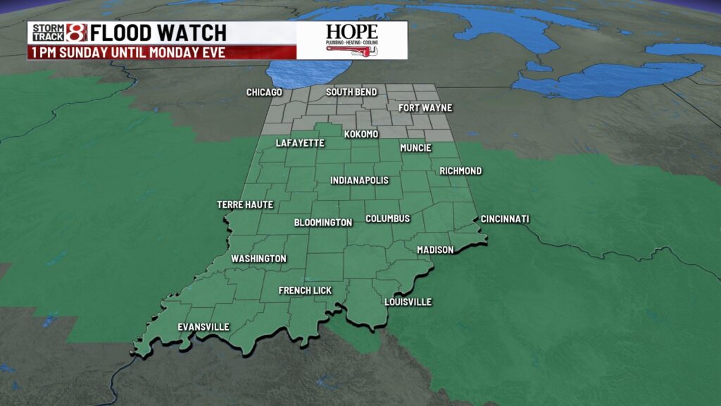
INDIANAPOLIS (WISH) — A FLOOD WATCH is in place for all of central Indiana beginning this afternoon and lasting until Monday evening. Multiple rounds of showers and storms may produce heavy rainfall.

TODAY: Patchy fog in some spots waking up. Central Indiana will likely be dry this morning. Showers and storms become likely this afternoon and evening in multiple rounds. Each round impacts where the next round forms and how strong the following round which makes the forecast tricky. A slight (2/5) risk of severe weather is in place along I-74, with wind as the main concern. An isolated tornado can’t be ruled out. High temperatures in the mid-80s.


TONIGHT: Scattered showers and storms mainly early on. Low temperatures in the low 70s.

TOMORROW: Mostly cloudy skies. Scattered showers and storms in a few waves. Severe weather is not expected. By the overnight hours, rain chances will be dropping off. High temperatures in the low 80s.


7-DAY FORECAST: Heat will build this week. A couple of days later this week will have heat index values in the triple digits thanks to a very muggy air mass. Smaller rain chances are possible late in the week.

