Aug. 10 | Evening Forecast with Meteorologist Drew Narsutis
TONIGHT

Calm and mild with mostly clear skies and lows in the low 70s. Expect light, variable breezes near 5 mph, making for a comfortable night to unwind outdoors.
TOMORROW

Another hot, sunny day with highs in the low 90s. Humidity creeps up a bit, though it will still feel manageable under a light south wind near 5 mph. A few spotty afternoon storms might bubble up, especially farther out west, but most areas stay dry and pleasant.
TOMORROW NIGHT
Sticky overnight with upper-60s for lows and partly cloudy skies. South-southeast breezes remain light around 5 mph, carrying the humidity through as the night lingers.
TUESDAY
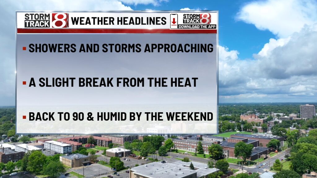
Heat and humidity build noticeable weight. Expect highs in the low 90s and increasing storm chances by afternoon, particularly after 2 PM. Winds turn south-southwest near 5 mph, adding to the sultry feel, and scattered downpours and rumbles may offer relief.
TUESDAY NIGHT
Warm and muggy with lows around 70. A few lingering showers or thunderstorms are possible early, then conditions begin to calm and dry out.
WEDNESDAY
Partly sunny and still humid with highs again around 90. Scattered showers and storms remain in the forecast, mostly in the afternoon or evening. Light west or southwest winds near 5 mph will punctuate the day’s energy.
WEDNESDAY NIGHT
Stickier than earlier in the week, with overnight lows in the upper 60s. Conditions turn partly cloudy and muggy, with lingering chances for a shower or storm in a few areas.
THURSDAY
Warm and humid continues, highs near 90 under partly sunny skies. Scattered afternoon storms remain possible as humidity hangs on, and light, variable breezes near 5 mph round out the feel.
THURSDAY NIGHT
A sticky close to the run with lows in the upper 60s, partly cloudy skies, and a chance for an evening storm before things settle. Humidity lingers as well.
7 DAY FORECAST

The pattern remains steadfast, dry and comfortably warm this Sunday into Monday, then gradually shifting toward steamier, more unsettled midweek weather. Tennis-ball hot days in the low 90s carry through, while scattered storms grow more frequent from Tuesday onward. Overall, typical late‑summer warmth with afternoon thunderstorm returns.

