
INDIANAPOLIS (WISH) — It was nothing short of miserable today with highs that pushed into the low 90s, and peak heat indices jumped into the low 100s for some locations.
The great thing with this extended forecast is that it is filled with a buildup of good news. That news is we are now on the downhill to bring back much nicer air.
Tuesday night: Showers and storms will keep nudging southward ahead of a slow moving front. This front is the first of two we’re tracking to pass through the state in the next five days. Lows in the upper 60s.


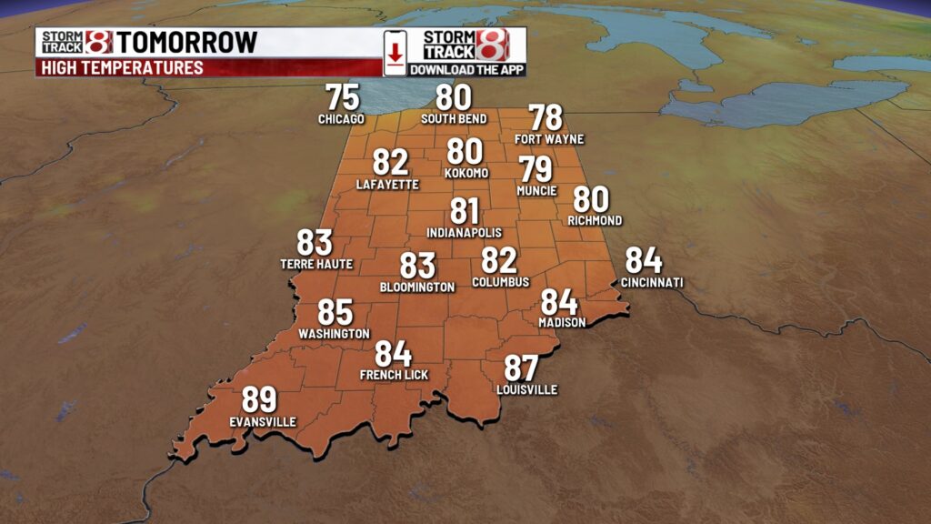
Wednesday: We’re in for a cooler day tomorrow with decreasing clouds. However, we will still contend with uncomfortable humidity levels. Highs to top out in the low 80s.


Thursday: Slightly below normal temperatures continue into Thursday under abundant sunshine. Highs will rise into the low 80s once again.

7-Day Forecast: The end to the workweek will be a touch warmer on Friday to kickoff The Zone high school football for the 2025 fall season. A second front looks to swing in heading into Sunday, and this is when our transition to marvelous weather completes itself. Sunday is when we really embrace pleasant conditions with highs only in the upper 70s and comfortable humidity levels. It only gets better from there as Monday is set to begin in the 50s! A taste of fall-like weather looks to continue into at least midweek next week.


About The Author
You may also like
-
IND airport dog Chica competes in TSA’s Cutest Canine Contest
-
‘UnPHILtered’ | Festival chair talks about helping students back in school
-
Person dies after being found shot in northwest Indianapolis parking lot
-
Next step ahead for proposed Google data center in Franklin Township
-
Sophie Cunningham ‘in good spirits’ despite season-ending knee injury