
Marcus’ 4 a.m. Wednesday forecast
INDIANAPOLIS (WISH) — Below-normal temperatures will persist through the weekend.
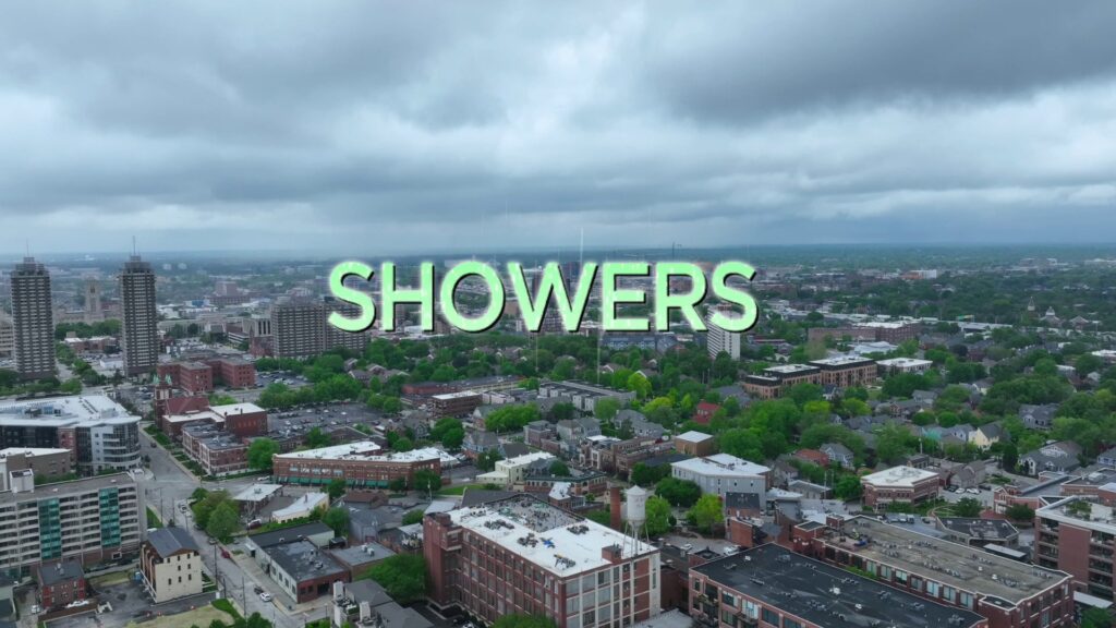
Wednesday:
Widespread cloud cover this morning with breezy and cool conditions. A few isolated showers are still lingering, but most of the state remains dry.
Expect continued cloudy skies, breezy winds, and below-average temperatures into the afternoon. Scattered rain chances will persist, especially north of I-70 this afternoon.

High temperatures will reach the mid-60s.


Wednesday night:
Cloudy skies will continue this evening as winds ease slightly. Shower activity should decrease, though a few isolated showers may linger overnight.
Lows will drop to the mid- and upper 40s.

Thursday:
No major changes for Thursday, as clouds remain persistent, winds pick up, cool temperatures continue, and a few isolated to scattered showers are possible in the afternoon.

High temperatures will only reach the upper 50s to lower 60s, about 15°F below average for this time of year.


Friday:
High pressure will settle in on Friday, finally breaking the cyclonic flow that has brought cloud cover, cool temperatures, and periodic rain chances to the Midwest. Expect partly cloudy to potentially mostly sunny skies by Friday afternoon. It will remain cool, especially for those heading to the track for Carb Day. High temperatures will reach the mid-60s, still about 10°F below average.


Saturday:
Saturday should remain quiet for those attending the parade or visiting the Indianapolis Motor Speedway for Legends Day. Winds will be lighter with partly cloudy skies. High temperatures will stay below average, reaching the mid- to upper 60s.
Race Day:
Another system will move into the state from Saturday night into Sunday. While rain chances have increased for parts of the state, there is some optimism that rain may stay south of the Indianapolis Motor Speedway on race day. It could be a close call, with a sharp gradient across Central Indiana determining who sees rain. For now, we include a chance of showers on race day, with higher probabilities the farther south you travel in the state. High temperatures will remain cool, reaching the mid- to upper 60s, with mostly cloudy to potentially overcast conditions.

Extended forecast:
Another system could bring more widespread rain to the state on Memorial Day. Due to model discrepancies on the exact path of this system, we’ll include a chance of showers and thunderstorms for Monday, with highs in the mid- to upper 60s.

The northwest flow keeping us cool will finally begin to break down by the middle of next week. Temperatures should rebound toward the end of the month.
About The Author
You may also like
-
Armed robber sentenced to 30 years for 2023 crime spree in Indianapolis
-
Jury finds 25-year-old guilty of 2 of 3 homicides in 2024 at Lawrence apartments
-
25 hospitalized after Delta flight encounters severe turbulence over Wyoming
-
Gen Con returns for 22nd year in Indy
-
Your go-to gummies and favorite energy drink may soon be banned