Latest

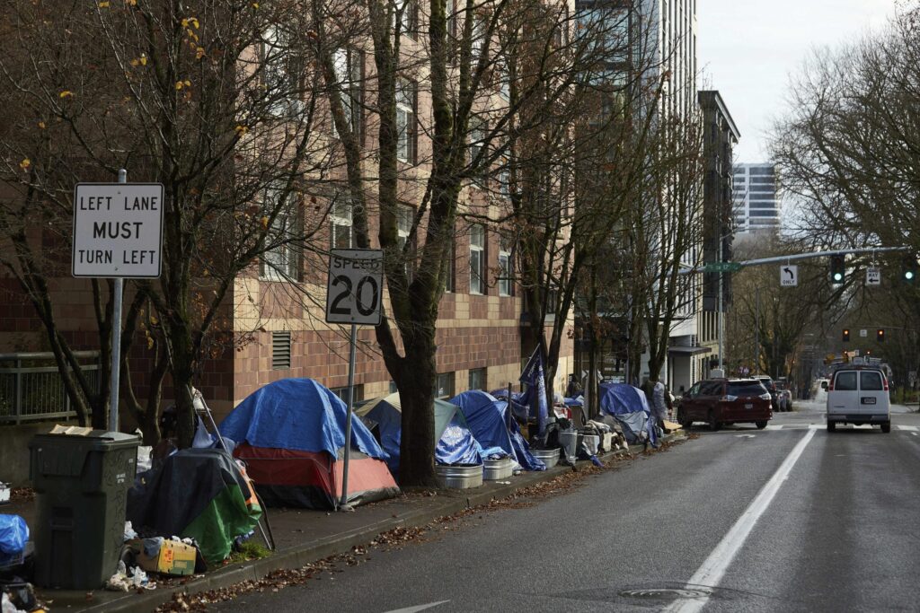
Indianapolis sees 26% decrease in veteran homelessness, HVAF report says

HVAF sees decrease in veteran homelessness

INDIANAPOLIS (WISH) — Veteran homelessness in Indianapolis has decreased by 26% over the past year, according to a new report from Helping Veterans and Families of Indiana.

The point-in-time count, a federal requirement to assess homelessness, published on Thursday revealed this significant reduction in veteran homelessness in the city. This progress is attributed to HVAF’s efforts in providing housing with supportive services to veterans.

Amy Hildebrand, chief executive officer of HVAF, says the solution to homelessness is housing with supportive services. “That’s what we do at HVAF every day for veterans in our community,” she added.

Last October, HVAF faced a setback when a fire nearly destroyed their largest transitional housing property, the Manchester Apartments on Pennsylvania Street.

However, the organization quickly began planning for the future and recently celebrated the reopening of the renovated building.

The renovations at Manchester Apartments will eventually add 14 more housing units and double the pantry space, enhancing HVAF’s capacity to serve veterans. As part of a community-wide initiative, 24 veterans were recently moved into the newly renovated apartments.

Hildebrand continues to focus on its mission to end veteran homelessness, working closely with the Department of Veterans Affairs and the local community.

Despite the 26% reduction, Hildebrand says there are still many veterans facing homelessness.

“Veterans are more likely to be homeless than nonveterans, especially women veterans, who are two-to-three times more likely to be homeless than any other adult in the U.S,” Hildebrand said.

Community support remains crucial, with HVAF encouraging financial donations and volunteer efforts to sustain their programs and maintain their properties.

“We (still) have a lot of work to do,” she said.

Clouds decrease later today, hot end to the week | July 21, 2025

Ryan’s 8 AM forecast 7/21

INDIANAPOLIS (WISH) — It’s been a gloomy start to the morning. Clouds will decrease later today as rain chances move out.

TODAY: Isolated showers and storms are possible south of Indianapolis, but most spots will be dry for today. Cloudy skies will be sticking around before breaking up during the late afternoon and evening hours. High temperatures in the mid-80s.

TONIGHT: Mostly clear and finally more comfortable. Low temperatures in the mid-60s. A few spots slip back into the 50s in eastern Indiana.

TOMORROW: A pleasant day considering the broad weather pattern we have been stuck in. Partly cloudy skies are expected. High temperatures in the mid to upper 80s.

7-DAY FORECAST: Hot and humid conditions return to close the week. Multiple days will have heat index values in the triple digits. Rain chances increase across our area going into a busy weekend locally.

Woman dies in crash with pickup truck at Post Road near I-70 interchange

INDIANAPOLIS (WISH) — At least one person died Monday morning in a crash on Indy’s far east side near Interstate 70, according to the Indianapolis Metropolitan Police Department.

Online police reports show IMPD officers were called to southbound Post Road near the I-70 off ramp just before 9 a.m. for an accident with injuries involving a silver truck and a red car.

IMPD Public Information Officer Drew Brown told News 8 at the scene that when officers arrived, they located both drivers in their vehicles.

The woman driving of the red car died at the scene, while the man in the pickup truck was rushed to a hospital for treatment.

Brown says the pickup driver was in stable condition as of 10:15 a.m. and was assisting with the investigation.

Officers say they believe the woman was exiting off the I-70 ramp to turn left onto North Post Road when she was hit by the silver pickup truck.

The truck driver also submitted to a blood test, which is standard in Indiana when there is a fatal accident.

IMPD says the southbound lanes of Post Road from the I-70 off-ramp will be closed for several hours while investigators are on the scene.

Traffic on I-70 will not be impacted, according to INDOT.

Heatwave to bring excessive heat and humidity to central Indiana later this week | July 21, 2025

Marcus’ 4 a.m. Monday forecast

INDIANAPOLIS (WISH) — A brief break from hot and muggy conditions is expected before another round of intense heat returns to central Indiana this week.

Today;

Showers are slowly moving out of the state this morning along a slow-moving boundary that has been draped across the region since the start of the weekend. Expect showers to continue pushing south and southwest throughout the morning, leaving most areas dry with mostly cloudy skies early and partly cloudy to mostly sunny skies by late afternoon.

High temperatures will reach the mid-80s, which is reasonable. Humidity will be elevated but not extremely high, making for a pleasant afternoon.

Tonight:

Very pleasant conditions are expected overnight with drier air in place and mostly clear skies. Overnight lows will fall to the mid-60s across the state.

Tuesday:

Tuesday should be another nice day with sunny skies from start to finish. Slightly warmer temperatures are expected, but humidity will remain in check. Highs will reach the mid- to upper 80s.

Extreme heat returns:

Humidity will begin to rise as early as late Tuesday night. Combined with a large heat dome building over the eastern half of the region, we are in for a stretch of dangerous heat and humidity through the end of the week. Expect highs on Wednesday, Thursday, and Friday to reach the low 90s. With dewpoints in the low to mid-70s, heat indices will likely exceed 100°F and, at times, surpass 105°F.

Additionally, overnight lows will only drop to the mid-70s, providing little relief during the night.

Rain returns late week:

The forecast should remain dry until at least early Thursday. A few pop-up storms may develop Thursday afternoon. Increased chances for rain and storms will begin Friday as the upper-level ridge starts to flatten, allowing for better precipitation chances. The best chance for rain appears to be at the start of the weekend on Saturday, with numerous showers and thunderstorms possible and highs in the upper 80s. Chances for storms will continue through Sunday to close out the weekend, with highs near 90°F. The long-range pattern keeps us hot early next week, with highs pushing 90°F through midweek, only returning to seasonable temperatures by the end of July.

The 8- to 14-day outlook also shows strong signals of above-average temperatures as we begin the month of August.

Demonstrators protest increased ICE funding

Demonstrators protest increased ICE funding

INDIANAPOLIS (WISH) — Demonstrators on Sunday gathered outside the offices of Indiana Republicans, protesting increased funding for U.S. Immigration and Customs Enforcement.

Dozens rallied outside Sen. Todd Young’s office in Carmel, calling for investments in communities, not ICE. The “Big Beautiful Bill” passed this week, which includes tens of billions in funding for ramping up deportations, adding 10,000 new ICE agents, and establishing detention centers for people in the country illegally.

“We’re here to say we want the government to invest in our communities, not in ICE, not in terrorizing our communities,” said Emily TeKolste, a protester. “That we deserve healthcare, we deserve housing, we deserve food, we deserve education, and that families deserve to live in peace.”

Simultaneous protests were organized outside offices for Representatives Rudy Yakym and Victoria Spartz. News 8 reached out for comment and has not heard back.

New look at IN-TF1’s rescue efforts in Kerr County, Texas

KERRVILLE, Texas (WISH) — Indiana Task Force 1 shared a new look at their deployment in flood-ravaged Texas. The team of first responders is now in their 12th day of helping with search operations along the Guadalupe River in Kerr County, Texas. The flooding that occurred between July 4 – July 10 has left the area muddy, wet, and debris-filled with rough terrain.

Task Force 1 is said to be in good health, focused on their mission, and asking to be kept in Hoosiers’ thoughts.

(Provided Photo/Indianapolis Fire Department via X)

Final Day of Indiana Black Expo 2025

Final Day of Indiana Black Expo 2025

INDIANAPOLIS (WISH) — Sunday was the last day for this year’s Indiana Black Expo.

The annual event has highlighted Indiana’s Black community since 1970. Everything from fashion, to art, and opportunity. Sunday’s finale saw wrestling matches, basketball, and the always popular Gospel Explosion.

“It means a lot to me,” said Andre Donaldson, a Gospel Explosion singer. “This is something I never, ever want to see go away. It’s very good for our culture, our city. It’s a big event with family gatherings. It just…it means a lot. A lot.”

Donaldson has been involved with the Indiana Black Expo for 45 years, and he encourages everyone in the community to get involved with the event next year, too.

WNBA All-Star Game and Indiana Black Expo bring 70,000 people to Indy

WNBA All-Star Game, Indiana Black Expo bring estimated 70,000 people to Indy

INDIANAPOLIS (WISH) — City leaders estimate that WNBA All-Star Game and the Indiana Black Expo drew more than 70,000 people to the Circle City this weekend for a nearly $10 million economic impact.

Saturday’s WNBA All-Star Game was sold out, with nearly 17,000 people packing Gainbridge Fieldhouse. Additionally, the Indiana Black Expo expects about 88,000 people to attend their 20-day event.

Events like this are what’s making the city a hotspot for hosting and the rest of the world is noticing.

If you search the word “Indianapolis” on LinkedIn, you’ll find countless posts from companies hiring, brands moving to the Circle City, and young professionals launching their lives in the city.

But, there’s something new the search populating. It’s the inaugural list of “cities on the rise” and Indianapolis is on it.

It’s an accolade that’s flattering to city leaders, but not surprising.

“This has become pretty normal for Indy, and it’s been pretty amazing to see things, just about every other weekend starting at the beginning of the year,” Indy Chamber Vice President of Marketing and Communications Joe Pellman said.

This weekend, it’s the all-star game in tandem with the expo, highlighting the growth. Pellman said there’s no other city that could pull both off simultaneously and seamlessly.

“This weekend is really the result of Indy’s two superpowers, which are speed and collaboration, but now with the WNBA All-Star game married with Indiana Black Expo, I mean, what an amazing opportunity to combine two major events in our downtown core, and also across pollinate those things across the arts across culture,” Pellman said.

To make the new LinkedIn list, you’ve got to offer more than just play. The company analyzed hiring data and home prices to sift through what spots around the U.S. are emerging the fastest.

Pellman says they’ve implemented key tools to make Indy a great fit for work and life.

“We built something called lifeinindy.com. That connects people to a group who we call Indy-fluencers, who are charged with meeting one-on-one with potential residents or those who have moved here and want a little deeper connection to the community,” Pellman said.

It’s not just people connecting with the Indy community, brands are clamoring to bring business here, and what was especially clear this weekend.

“We love that so many different brands have created new experiences in downtown, especially, Nike, Gatorade, Coach, a variety of really major brands that are not only showcasing Indy to the rest of the country, but showcasing it to the world,” Pellman said.

5 men arrested for child solicitation in Grant County

MARION, Ind. (WISH) — Deputies with the Grant County Sheriff’s Office and officers with the Marion Police Department on Sunday arrested five men for child solicitation.

Four of the men traveled from outside counties with the intent to engage in sexual activity with a person they believed to be a 13-year-old girl.

Law enforcement was contacted by Predator Catchers Inc., a civilian organization focused on exposing individuals attempting to exploit minors online. Once the suspects arrived at the meeting location, Predator Catchers Inc. notified law enforcement.

The following men were arrested and charged with child soliciation:

  • Isaiah Frye, 28, of Loogootee, Indiana.
  • Johnathon Sasser, 42, of Anderson, Indiana.
  • Joshua Stephen Keck, 39, of Frankton, Indiana.
  • Teddy Lunceford, 38, of Elkhart, Indiana.
  • Raul Escribano, 35, of Marion, Indiana (arrested by the Marion Police Department).

“Protecting our children is one of the most sacred responsibilities we have,” said Grant County Sheriff Del Garcia. “Thanks to the swift response of our deputies, the work of the Marion Police Department, and the alert from Predator Catchers Inc., these individuals were apprehended before any harm could be done. We will continue to pursue those who seek to prey on children and hold them accountable.”

Weather Blog | Tracking severe storms in southern Indiana

Watch live | Interactive radar | Storm Track 8 weather app | Watches & warnings Hourly forecast | Wind gusts

INDIANAPOLIS (WISH) — A batch of strong/severe storms will move across southern Indiana Sunday evening. Damaging wind gusts to 60 mph appear to be the main concern at this time. Torrential rainfall and dangerous lightning are also occurring.  

(WISH Photo)
(WISH Photo)

8:54 p.m.

Weather Alert: Severe Thunderstorm Warning for Greene, Lawrence, and Monroe County until 9:30pm.

Severe Thunderstorm Warning including Owensburg IN, Williams IN and Crane IN until 9:30 PM EDT

(Provided Photo/National Weather Service Indianapolis via X)

8:21 p.m.

Weather Alert: Severe Thunderstorm Warning for Greene County until 8:45pm.

Severe Thunderstorm Warning including Linton IN, Bloomfield IN and Lyons IN until 8:45 PM EDT. This storm will contain wind gusts to 70 MPH!

(Provided Photo/National Weather Service Indianapolis via X)

8:10 p.m.

Weather Alert: Severe Thunderstorm Warning for Greene County until 9:00pm.

Severe Thunderstorm Warning including Bicknell IN, Freelandville IN and Elnora IN until 9:00 PM EDT

(Provided Photo/National Weather Service Indianapolis via X)

7:46 p.m.

Weather Alert: Severe Thunderstorm Warning for Clay and Greene County until 8:30pm.

7:09 p.m.

Weather Alert: Severe Thunderstorm Watch for portions of the area until 1:00am.

7 p.m.

Weather Alert: Severe Thunderstorm Warning for Clay and Greene County until 7:45pm.

6:20 p.m.

Weather Alert: Severe Thunderstorm Warning for Clay County until 7:00pm.

9:55 a.m.

Weather Alert: Severe Thunderstorm Warning for Tippecanoe County until 10:30am.