
INDIANAPOLIS (WISH) — The big transition in this forecast is about to take shape as Indiana concludes July on Thursday.
All roads lead to the best weather the Hoosier state has enjoyed in about two months to open August.
Wednesday night: Showers and storms will remain possible near and north of Interstate 70. Local flooding will remain the main concern, although an isolated stronger wind gust is possible.
Lows in the upper 60s to low 70s.


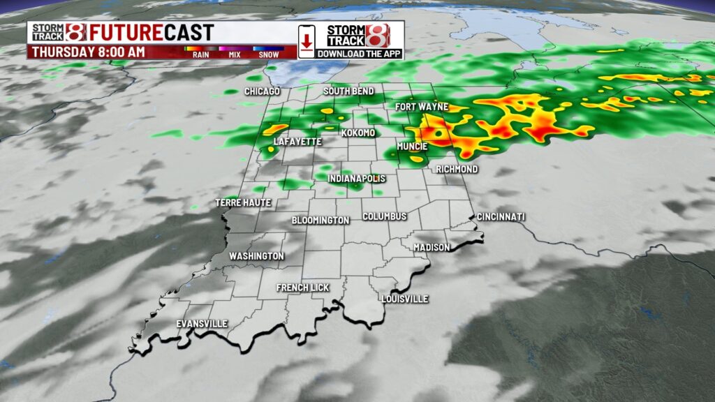
Thursday: Scattered showers and storms look to persist into at least the first half of the day as a slow-moving front moves through.
We’re looking at a much cooler day, but the muggy meter will remain elevated. Highs are to only top out in the mid to upper 70s to end July.


Friday: August is set to begin and the workweek end on a marvelous note. Enjoy plenty of sunshine, pleasant air, and below-normal temperatures. Highs will rise into the upper 70s to low 80s with a northeast breeze setting up, too.

7-Day Forecast: The fantastic weather slated for Friday will continue through the weekend. By next week, rain and storm chances will return with highs in the low to mid 80s.

About The Author
You may also like
-
Your go-to gummies and favorite energy drink may soon be banned
-
The Morning Bell: Clark-Pleasant Community Schools kick off new year with new initiatives
-
Rolls-Royce among 12 stolen vehicles recovered by IMPD
-
One day left! Gr8 Paper Push hits final stretch
-
Colts kicker ‘hands out’ mini footballs in unique way