
Marcus’ 4 a.m. Thursday forecast
INDIANAPOLIS (WISH) — Expect warm, dry conditions to persist until the weekend, followed by a period of hot, humid weather with potential for localized flooding due to scattered showers and storms.
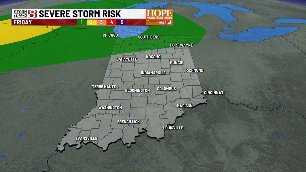
Today and Friday: More of the Good Stuff
Another excellent day is on tap — virtually a carbon copy of Wednesday with a few minor tweaks. Temperatures reach the mid-80s by late afternoon. Dew points are a couple degrees higher than yesterday, but nothing uncomfortable. A few clouds will dot the sky, but we expect another day of sun.

Overnight lows will hold in the low-to-mid 60s with a light southerly breeze keeping temperatures from dropping much.
Friday looks similar but with one notable change: winds strengthen significantly ahead of the approaching weekend system, with gusts of 20 to 30 mph developing by afternoon and breezy conditions continuing into Saturday.

Saturday: Rain Chances Return (For Some)
The transition to a more active pattern happens this weekend. An upper level system and associated surface low and trailing cold front will move south into the region Friday night into Saturday.
A few strong storms in Illinois will push into the state overnight Friday into Saturday morning – but should weaken quite a bit as the move into the state.

We will also likely see a few storms fire up with the heating of the day, as the frontal system begins to stall out of the state.

The bottom line: rain chances ramp up late Saturday, but rain will be hit and miss and won’t be a washout for the day – but some areas could pick up some heavy downpours at times.
Friday night and Saturday both provide severe weather chances across much of the state.


Sunday Through Wednesday: Hot, Humid, and Unsettled
A strong pull from an area of high pressure will bring a copious supply of Gulf moisture into Central Indiana by the end of the weekend, and it stays put through at least Wednesday.
Dew points in the upper 60s to around 70°, very warm temperatures, and light southerly breezes that do little to provide relief.

The stalled frontal boundary will serve as a focus for scattered showers and embedded pulse storms capable of locally heavy downpours and gusty winds on any given afternoon or evening. With the boundary stationary and moisture levels very high, localized flooding will be the primary concern.
Rain chances gradually ease later in the week as the ridge slides slightly east, but widely scattered afternoon and evening storms remain in the forecast through at least Wednesday.

About The Author
You may also like
-
IMPD arrests boy after fatal shooting of 23-year-old in downtown parking garage
-
What happened to Lauren Spierer? Missing IU student case still haunts Bloomington 15 years later
-
Friend remembers 24-year-old found dead in Speedway retention pond
-
Indiana governor declares Pride month ‘nuclear family month’
-
1 found dead inside van pulled from Speedway retention pond