
TODAY

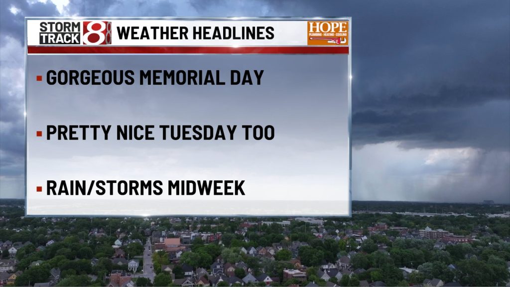
Patchy fog early gives way to a mostly sunny and warmer afternoon. Highs reach near 80, with an east northeast breeze around 5 mph. Once the early haze lifts, this looks like a very good Memorial Day setup for cookouts, travel, and anything outside.
TONIGHT

Partly cloudy and mild, with lows near 60 and light wind becoming calm in the evening. Quiet weather holds overnight, and there are no meaningful travel or outdoor concerns.
TUESDAY
Partly sunny and warm with most of the day staying dry. Highs climb into the low 80s, with a light east southeast breeze around 5 to 10 mph. Clouds increase later in the day, but this still looks like another usable afternoon before the wetter pattern begins to edge back in overnight.
TUESDAY NIGHT
Showers and thunderstorms become more likely after about 2 a.m. under mostly cloudy skies. Lows hold in the mid 60s, with light east southeast wind. This is not a night that looks stormy from start to finish, but the late overnight period does carry a better rain and thunder signal.
WEDNESDAY
More clouds than sun with showers likely and a thunderstorm possible, especially from mid morning into early afternoon. Highs reach the low 80s, with light east wind. It will feel warmer and more humid again, and this looks like the least friendly day of the stretch for outdoor plans.
WEDNESDAY NIGHT
Rain chances begin to back off through the evening, with only a lower end thunder chance lingering before 8 p.m. Skies then turn partly cloudy overnight, with lows near the mid 60s and light north northeast wind. The wetter part of the forecast should be easing by the second half of the night.
THURSDAY
Mostly sunny and warm with highs in the low 80s and a light northeast breeze around 5 mph. After Wednesday’s more unsettled weather, Thursday looks like a much cleaner and more comfortable day across Indianapolis.
THURSDAY NIGHT
Partly cloudy and seasonably mild, with lows near the low 60s and an east breeze around 5 mph. Quiet weather continues through the night.
7 DAY FORECAST

The cleanest stretch of the forecast is Memorial Day through much of Tuesday, with warm afternoons and only patchy early fog Monday morning. Rain chances then return late Tuesday night and peak on Wednesday, before drier weather settles back in by Wednesday night and Thursday. Temperatures stay above normal most of the week, generally near 80 or a little above during the day, and the broader NWS Indianapolis discussion still points to the better dry weather window arriving on Friday.
About The Author

You may also like
-
IMPD: Person found dead with trauma injuries outside Meridian Street office building
-
New tool allows Indianapolis residents to track data center and other development proposals
-
‘Can’t make it worse’: 86th Street safety overhaul near Monon Trail sparks mixed reactions
-
Christa Pike is conscious and speaking after Tennessee failed execution, her attorneys say
-
‘Clear pattern’: Boone County considers removing auditor following data leak