
Ryan’s 6 AM forecast 8/23
INDIANAPOLIS (WISH) — Saturday is shaping up to be the warmest day over the next 7 days, and that isn’t saying much. A cold front passes tonight and brings a prolonged cooler-than-average stretch with it.
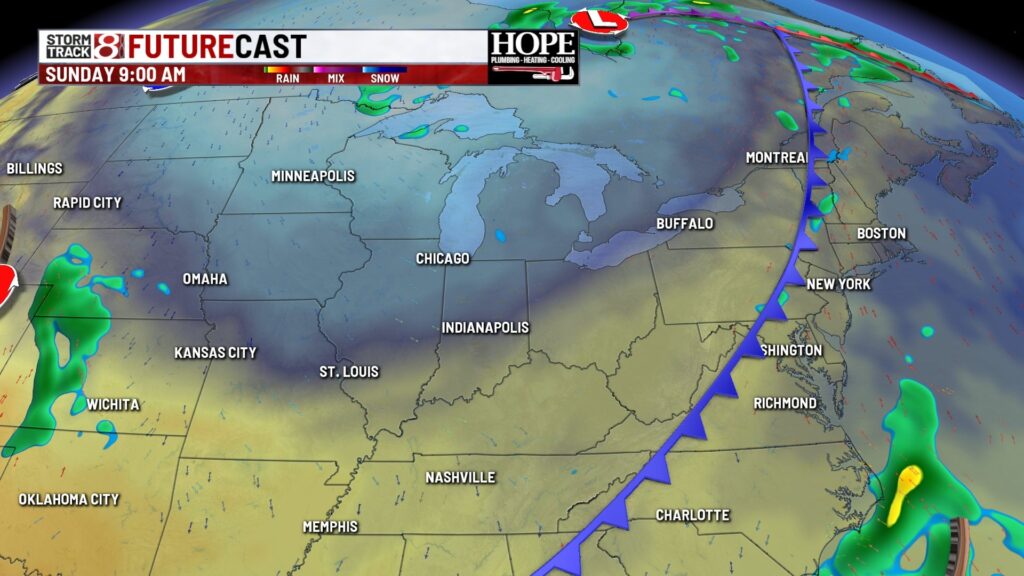
TODAY: Partly to mostly cloudy skies. In the last hour or two of daylight in the evening, a spotty shower is possible. High temperatures in the low 80s.


TONIGHT: A spotty shower is possible early on, but the majority will still be dry. Clouds decrease in the early morning. Low temperatures in the low 60s.

TOMORROW: Mostly sunny, cool, and comfortable. High temperatures in the mid-70s.

7-DAY FORECAST: Multiple overnight lows will be in the 50s next week and potentially threaten a few records. Some could see Tuesday & Wednesday morning lows in the upper 40s. The cooler-than-average air mass lasts all week. By the next weekend, high temperatures will get back close to 80 degrees.


About The Author
You may also like
-
1 male dead, 1 wounded in shooting; suspects in custody after car crash
-
THE ZONE: Scores and Highlights – August 22, 2025
-
Purdue Indianapolis launching new academic programs to fill workforce needs
-
McBride scores 29 points, Shepard has triple-double as Lynx beat Fever
-
Thousands of dollars in lawn care equipment stolen from Christian school