
Aug. 16 | Evening Forecast with Meteorologist Drew Narsutis
TONIGHT

Humidity remains steady with mostly cloudy skies and lows in the low 70s, accompanied by a light southwest wind around 5 mph. It’s a warm and somewhat muggy evening, perfect for a late‑day walk, just keep an eye on the sky if dusk clouds thicken.
TOMORROW

Hot, humid, and unsettled, with scattered showers and thunderstorms likely, especially north of I‑70. Highs stay in the upper 80s to around 90, with heat‑index values approaching 100. Winds shift to the west‑southwest near 5 mph, making it feel dense and sticky outside.
TOMORROW NIGHT
Still warm and humid, lows in the low 70s under partly cloudy skies. Calm to light northwest or northerly breezes around 5 mph may help ease the nighttime humidity just a bit.
MONDAY
Still oppressively hot and humid, with sunshine aplenty and highs near 93. South‑southwest breezes remain light around 5 mph. Watch for isolated afternoon storms, especially across northern parts of the area where instability is more pronounced.
MONDAY NIGHT
A muggy evening with lows settling in the mid 70s. Skies stay partly cloudy, winds remain light and variable, and humidity lingers long after sunset.
TUESDAY
Continued heat and humidity with highs again in the low 90s, feeling even more oppressive as moisture builds. Scattered showers and storms are likely beginning in the afternoon, expanding into evening hours as a cold front approaches.
TUESDAY NIGHT
Storm activity holds on with a 30 to 40 percent chance of showers or thunderstorms. Still humid with lows in the low 70s, skies remain partly cloudy, and a light west‑southwest wind near 5 mph persists.
WEDNESDAY
A noticeable shift, cooler and less humid under partly sunny skies. Highs drop into the low to mid‑80s, and only a slight chance of late‑day showers remains. North‑northeast breezes around 5 mph help bring in that fresher, autumn‑feel air.
WEDNESDAY NIGHT
Comfortable with lows in the mid 60s under mostly clear skies. Breezes stay light and variable, and the air begins to feel noticeably drier for the first time this week.
7 DAY FORECAST

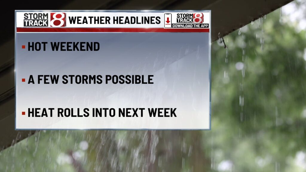
The weekend starts out humid and breezy, with scattered storm chances on Sunday and Monday afternoon. Heat and mugginess build ahead into Tuesday, when storm chances ramp up ahead of a front. By Wednesday, the atmosphere cools and dries significantly, bringing more comfortable and stable weather. If you like, that cooler wrap into mid-week can become the “weather story” backbone for post-Wednesday planning.
About The Author
You may also like
-
Community Link: Giving underrepresented minorities a path to Wall Street
-
Family of 5 displaced after house fire on Indianapolis’ south side
-
Sunday storm chances, high humidity continues | Aug 17, 2025
-
Shooting kills 1 on near northeast side of Indianapolis
-
AT&T may pay customers up to $7,500 in $177 million data breach settlement