
Marcus’ 4 a.m. Thursday forecast
INDIANAPOLIS (WISH) — We could experience the hottest temperatures of the summer season this weekend.
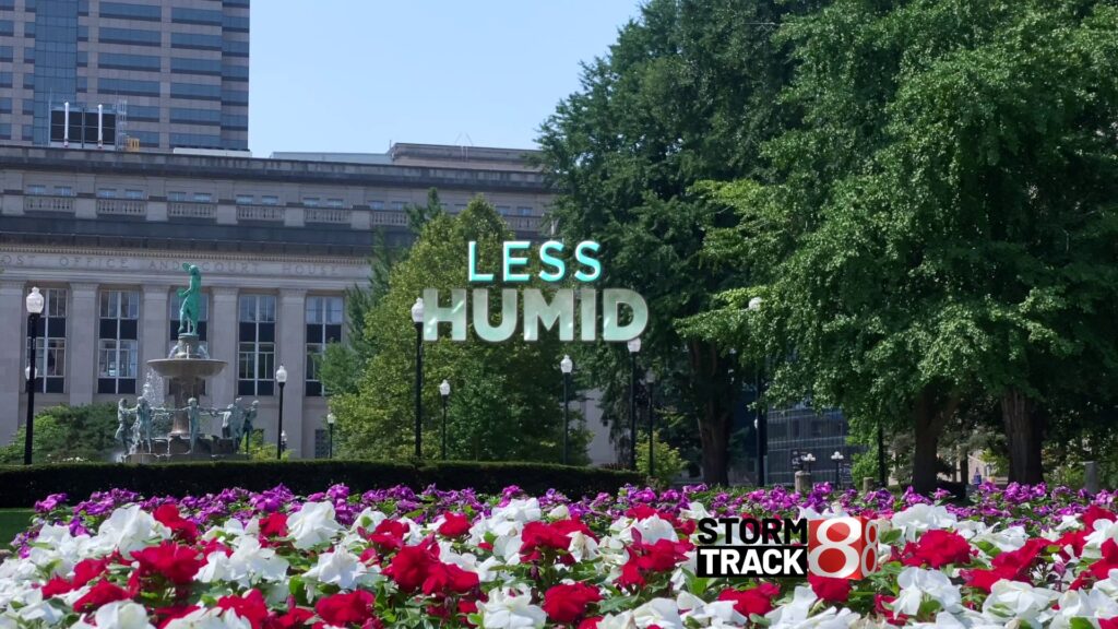
Today:
This morning starts off much more comfortable, with temperatures sliding into the 60s and dewpoint temperatures making it feel less stuffy to begin the day.
Sunny skies and lower humidity are expected today, though a stray thunderstorm is possible this afternoon south of Interstate 70. As mentioned in previous forecasts, today should be the nicest day of the extended forecast, with highs reaching the mid-80s and less muggy conditions.
Tonight:
Clear and cooler overnight, with lows falling into the 60s and humidity remaining in check, making for a comfortable start to Friday morning.
Intense heat returns:
Hot, humid air will return to Central Indiana starting Friday as a large ridge builds back across the southeast.
Expect high temperatures to climb into the lower 90s, with dewpoint temperatures rising to near the 70s, resulting in feels-like temperatures in the mid- to upper 90s Friday afternoon.
Weekend:
Extremely hot, humid, and dry conditions are expected for the weekend. The hottest temperature recorded this summer so far has been 95°F. We could match or exceed that this weekend with another strong push of hot air moving into the region. Highs will reach the mid-90s both Saturday and Sunday. With dewpoint temperatures in the lower 70s, the heat index is expected to range between 100 and 105°F, likely meeting heat advisory criteria for the weekend.
Monday will be equally hot, with highs in the mid-90s and feels-like temperatures as high as 105°F. However, isolated storms are possible very late on Monday, which could help cool things down. As of now, rain chances remain extremely limited.
Next week:
The forecast becomes more uncertain by midweek, partly due to the potential track of Hurricane Erin. As Erin approaches the U.S. mainland, it may hinder the west-to-east movement of our upper-level weather pattern. This could prolong our hot temperatures for a few extra days next week. It’s still too early to determine exactly how close Aaron will come to the U.S. mainland or how long it will linger along the East Coast.
What we do know is that once Erin moves out of the picture, a pattern shift is expected, allowing the hot dome of air to shift west and bringing a welcome cooldown and relief to the eastern half of the country by the middle to end of next week.
