
Marcus’ 4 a.m. Wednesday forecast
INDIANAPOLIS (WISH) — A few storm chances will be possible in the southern portion of the state.
Today:
Patchy fog is present this morning in portions of southwestern Indiana, with some areas of denser fog. This fog may expand slightly, especially in areas that received rain on Tuesday. Daytime heating will gradually dissipate the fog later this morning.
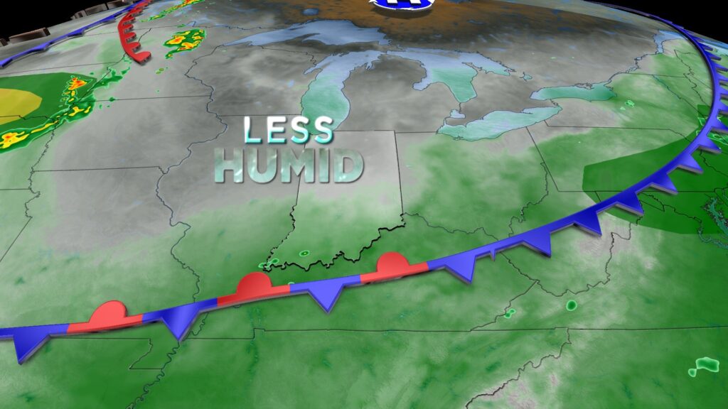
A frontal boundary continues to slide south across the state, which may trigger isolated showers and thunderstorms, particularly along and south of I-70. These storms are likely to hold off until mid to late afternoon.

No severe weather is anticipated, but stronger wind gusts cannot be ruled out, along with heavy downpours and frequent lightning.
As the front moves south, cooler temperatures are expected due to a northerly flow and increased cloud cover. High temperatures will reach the mid-80s, which is typical for mid-August.

Tonight:
The overnight period will be relatively quiet with a few patchy areas of fog. Conditions will feel more comfortable as drier air briefly settles in. Overnight lows will drop to the mid-60s across much of Central Indiana.
Beautiful Thursday:
Thursday will be the best weather day in the extended forecast, featuring abundant sunshine as high pressure settles in. Seasonable temperatures and lower humidity will create a very pleasant summer afternoon.

Another round of high heat:
The relief from the heat will be short-lived. A ridge of high pressure will build, expanding a heat dome across the Midwest starting Friday. High temperatures will reach 90°F on Friday afternoon, with dewpoints in the 70s pushing the heat index close to 100°F.

This weekend could bring the hottest temperatures of the year. The highest temperature recorded so far this year is 95°F, and we may approach that mark on both Saturday and Sunday, with highs in the mid-90s and heat index values between 100°F and 105°F. Chances for rain to provide relief will be very limited on Friday and Saturday, but isolated showers and thunderstorms could return during the peak heating of the afternoon on Sunday and Monday.
Looking ahead to next week, there are many uncertainties about when this heat wave will end. Tropical Storm Erin could play a significant role in determining when a cooldown arrives. As Aaron nears the Atlantic coast, it may slow the progression of weather patterns across the lower 48 states, potentially prolonging the heat.

Current projections suggest temperatures may fall back to near or below average by the middle of next week, but this could be delayed depending on Erin’s track.
