
Aug. 3, 2025 | Sunday evening forecast with Drew Narsutis
TONIGHT

A pleasant August evening will give way to a calm and mild night. Skies will be mostly clear, though a light haze may linger from Canadian wildfire smoke aloft. Temperatures will cool into the mid 60s for most areas, with a light east-northeast breeze holding near 5 to 10 mph. Humidity remains comfortable, making for a great night to have the windows open.
TOMORROW

Another good one, though not quite as perfect as the weekend’s peak. Expect partly sunny skies with some mid and high clouds drifting in from the south and west. Temperatures will top out in the low 80s, still comfortable for early August, with light east winds around 5 to 10 mph. A stray shower could skirt southwestern Indiana late in the day, but most of central Indiana stays dry.
TOMORROW NIGHT
Clouds will gradually increase overnight as moisture slowly returns to the region. Lows will only fall into the upper 60s, a few degrees warmer than recent nights, with light easterly winds. The added humidity will be noticeable by morning, but rain chances stay very low.
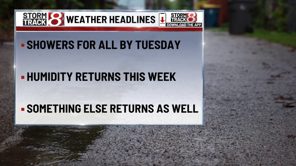
TUESDAY
Heat and humidity begin to build again. Skies will be partly sunny, and a few showers or storms may develop after 2 PM, especially in western and southwestern counties. Highs will reach the mid 80s, but higher humidity will push heat index values closer to 90 in the afternoon. Winds will shift to the southeast near 5 to 10 mph.
TUESDAY NIGHT
A warm and muggy night with lows in the upper 60s. Scattered showers and isolated storms may linger into the evening before fading after midnight. Skies will be mostly cloudy with light and variable winds.
WEDNESDAY
Partly sunny and warm with highs in the mid 80s. Humidity will remain elevated, making it feel closer to the upper 80s to near 90. A few afternoon showers or storms are possible, especially in southern and western parts of the state. Winds will be light from the southeast.
WEDNESDAY NIGHT
Partly cloudy skies with lows in the upper 60s. Light southeast winds will go calm overnight.
THURSDAY
Mostly sunny skies and dry conditions for most areas. Highs will climb to the mid 80s with a light southeast breeze.
THURSDAY NIGHT
Clear to mostly clear skies overnight with lows in the upper 60s. Light southeast winds becoming calm toward morning
7 DAY FORECAST

After a spectacular weekend, Monday still offers comfortable weather before a more typical August pattern takes hold. Heat and humidity will slowly increase Tuesday and Wednesday, with spotty afternoon showers or storms possible, especially west and south. The second half of the week trends drier with highs in the mid 80s, but humidity will remain in place. Next weekend looks warmer, with highs approaching the upper 80s to near 90 and sticky dew points back in the low 70s, a return to true midsummer conditions.
About The Author
You may also like
-
Male shot in attempted robbery in Lawrence Walmart parking lot
-
Boy shot in leg at home in Cumberland; investigation underway
-
Colts running back leaves practice on stretcher with severe leg injury
-
Fever HC Stephanie White “still doesn’t know” when Caitlin Clark could return
-
Ex-Trump prosecutor Jack Smith faces investigation by independent political watchdog