
Marcus’ 4 a.m. Monday forecast
INDIANAPOLIS (WISH) — Heat advisories continue through Tuesday evening.
Today:
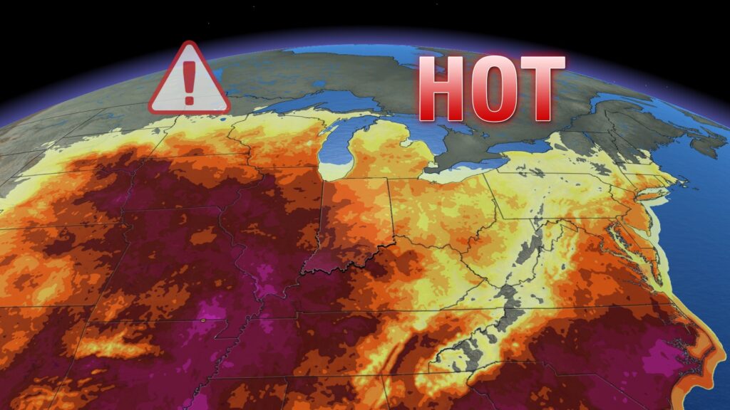
Another round of intense heat will kick off our work and school week. A large ridge of high pressure and an expansive heat dome will continue to dominate the eastern half of the country. Expect plenty of sunshine in the morning hours, with some pop-up clouds and possibly a stray thunderstorm later this afternoon.

High temperatures will reach the low to mid-90s, with heat indices reaching 105°F this afternoon.

Tonight:
Mainly clear and muggy conditions are expected overnight, with lows dipping to the mid-70s.
Tuesday:
Hot and humid conditions with sunshine will persist on Tuesday. A few spotty afternoon showers and thunderstorms will again be possible.
High temperatures will reach the mid-90s, with heat indices ranging between 105°F and 110°F.
Pattern change:
On Wednesday, an increased chance of storms is expected as a frontal boundary moves through. This could bring a few strong thunderstorms with gusty winds and the potential for heavy rainfall.
The bigger story following the storms will be a significant pattern change by the end of the week. Both heat and humidity will decrease considerably. After showers move out early Thursday morning, high temperatures will reach around 80°F on Thursday afternoon. Many areas may not climb out of the 70s on Friday and Saturday as we kick off the first weekend of August.
7 day forecast:
The long-range pattern looks to remain fairly quiet through the end of the weekend. Temperatures are expected to rebound closer to average as we head into the new work and school week. The 8-to-14-day outlook also shows temperatures running slightly above average.

About The Author
You may also like
-
Comfortable first weekend of August, more uncomfortable next week | Aug. 1, 2025
-
Indiana schools implement new legislation for advanced math courses
-
Suspected gunman in west side police shooting arrested, identified as 19-year-old
-
The Morning Bell: Avon Community Schools kicks off new year with renovated facilities
-
Indiana teacher balances lesson plans and wrestling matches