
u0022u0022
INDIANAPOLIS (WISH) — Warm conditions will persist into Sunday. A cold front moving into the region Sunday afternoon and evening will lead to an increased chance of rain and thunderstorms.
TONIGHT: Quiet and warm conditions will continue. Lows in the low 70s and upper 60s can be expected under mainly clear skies.

SUNDAY: We’ll start out with lots of sunshine and muggy conditions. Highs in the low 90s are on track once again by the afternoon.

Southwesterly winds between 10-15 mph will stir up the muggy air a bit. Heat indices could push into the upper 90s.

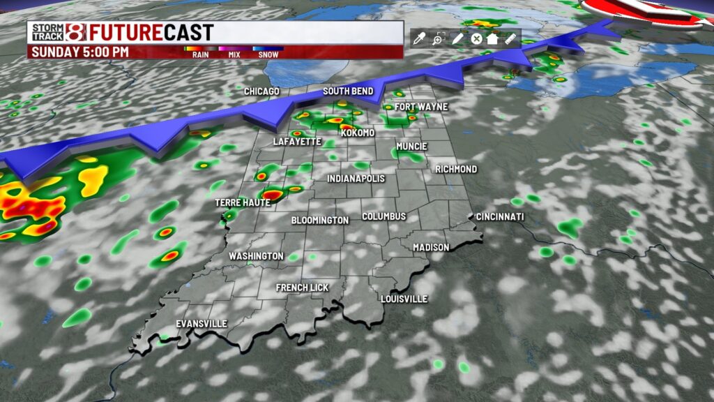
A cold front will be slowly approaching from the west during the day so rain & storm chances will go up by the afternoon and evening hours. The highest odds of rain initially will be NW of the Indy metro area.

7 DAY FORECAST: The chance of scattered rain & storms will continue Sunday night into Monday as the front slowly slips through Central Indiana.


Severe weather is not expected at this time. It looks like we’ll be somewhat unsettled Tuesday through Friday with daily storm chances, although each day will present different odds of rain.

There could be a few stronger storms at some point this week but a big weather event isn’t in the cards with the forecast weather pattern.
Temperatures during the week should be mainly in the mid to upper 80s during the afternoon with upper 60s to around 70 at night. This is pretty typical of early July.

About The Author
You may also like
-
Warm and humid with some rain chances across central Indiana this week | July 8, 2025
-
Woman killed after hit by SUV while walking on Kentucky Avenue
-
ISP investigating Greenfield Police shooting
-
Indianapolis allocates $4 million for improved snow removal efforts
-
Indiana Silver Alert issued for 89-year-old missing in Posey County