
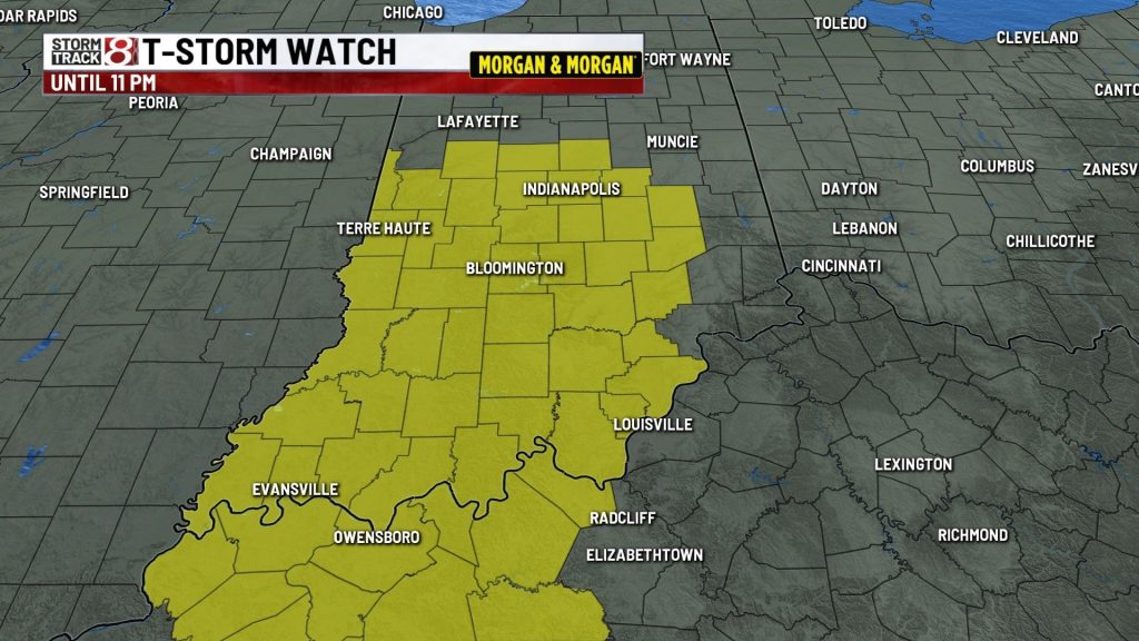
A severe thunderstorm watch is in effect until 11 p.m. EST Wednesday for 43 Indiana counties, including Marion, Hamilton, Hendricks and Johnson counties in the Indianapolis area.
The National Weather Service Storm Prediction Center issued the watch at 4:45 p.m. EST. It covers counties across central, southern and southwestern Indiana.
Storms could produce damaging wind gusts of 50 to 60 mph, isolated large hail and localized flash flooding from heavy downpours. The National Weather Service in Indianapolis said an isolated tornado cannot be ruled out.
These are all of the counties in the watch area: artholomew, Boone, Brown, Clark, Clay, Crawford, Daviess, Decatur, Dubois, Floyd, Gibson, Greene, Hamilton, Hancock, Harrison, Hendricks, Jackson, Jennings, Johnson, Knox, Lawrence, Marion, Martin, Monroe, Montgomery, Morgan, Orange, Owen, Parke, Perry, Pike, Posey, Putnam, Rush, Scott, Shelby, Spencer, Sullivan, Vanderburgh, Vermillion, Vigo, Warrick and Washington.
About The Author

You may also like
-
North Carolina semi driver dies in crash on I-65 near Columbus
-
Marion County judge suspended 45 days without pay following misconduct investigation
-
Truck and motorcycle crash kills 1 on Indianapolis’ far east side
-
Indianapolis man arrested after police uncover alleged chop shop, 16 stolen vehicles
-
Indianapolis man convicted in 2024 mass stabbing outside northwest-side bar