
u0022u0022
INDIANAPOLIS — Highs in the 60s continue Wednesday with colder, more fall-like air to follow for the end of the week and coming weekend. Some rain is on the way and parts of Indiana could even experience the first flakes of the season.
TUESDAY NIGHT:
Mostly clear & quiet. Areas of fog are possible. Lows in the 30s to lower 40s.

WEDNESDAY:
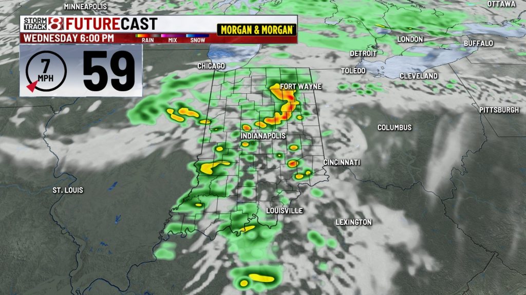
Increasing clouds with mild highs in the lower to middle 60s. Areas of rain with some embedded thunder will likely develop by late afternoon and early evening. A few gusty storms are possible, widespread severe weather seems unlikely.


WEDNESDAY NIGHT:
Mostly cloudy with lingering showers. Lows in the 40s. Turning breezy.
THURSDAY:
Mostly cloudy, breezy, and cooler with scattered showers. Highs in the 40s to around 50.

THURSDAY NIGHT:
Mostly cloudy, breezy, and colder. Lows in the 30s with morning wind chill values in the 20s. Some light snow showers are possible.
FRIDAY:
Variably cloudy, blustery, and cold. Highs in the 40s. Lingering rain & snow showers are possible. It’ll be a chilly night for high school playoff football with evening temperatures in the 30s.


FRIDAY NIGHT:
Variably cloudy, breezy, and cold. Lows in the 30s & 20s with wind chills in the 20s by daybreak.
WEEKEND:
Lots of sunshine as high pressure moves into the region. Look for highs mainly in the 40s with overnight lows in the low 30s and 20s.


About The Author

You may also like
-
Westfield breaks ground on massive Grand Park expansion set to reshape sports destination
-
Colts trade wide receiver Josh Downs to Chiefs, reports say
-
Reports: Colts trading WR Keenan Allen to 49ers
-
IMPD searches for Indianapolis woman missing since October 31
-
‘Workers disappeared’: Drivers question road diet delay in Indianapolis