
July 16 | Evening Forecast with Chief Meteorologist Keith Gibson
INDIANAPOLIS (WISH) — We keep ahold of this unsettled pattern into this weekend with daily storm chances and awful humidity. Matter of fact, next week could be our most miserable week of the year.
Wednesday night: Scattered showers and storms will remain possible into tonight. Isolated stronger wind gusts cannot be ruled out.


Lows in the low to mid 70s.

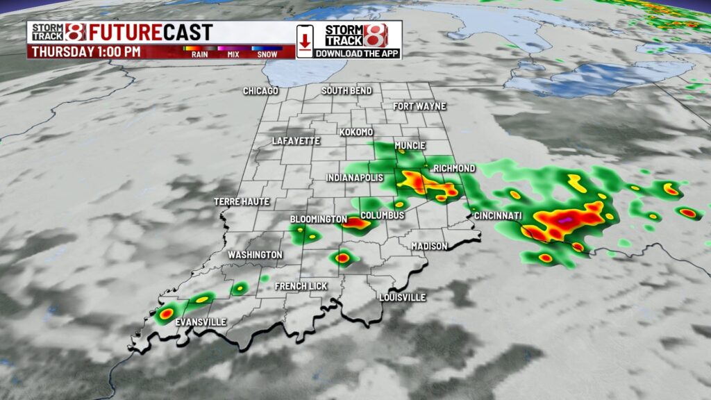
Thursday: A front will slowly move southward throughout Thursday, which will give way to the main coverage of rain/storms being confined along/south of I-70. Scattered showers and storms will occur at times during the day with concerns for local flooding. Isolated stronger wind gusts are possible in southern Indiana.


Highs in the mid 80s, but it will feel more like the mid to upper 90s.


Friday: Scattered rain and storm chances stay with us through the end of the workweek. Warm and humid weather continues Friday with highs near normal in the mid 80s.

7-Day Forecast: By this weekend, we could be tracking a stronger system Saturday into Sunday. Dew points in the mid-70s in conjunction with possibly better dynamics aloft could lead to a stronger storm threat. If you’re heading to the WNBA all-star game on Saturday, keep checking radar at times.

However, this forecast only gets more miserable as next week may feature a slew of days with triple digit heat indices, dew points even closer to 80, and multiple 90 degree days. In layman’s terms, we’re about to see a hot dome attempt to influence our forecast after this weekend. This also means we could have some storm clusters ride around the edge of this hot dome, also known as “ridge riders”. We’ll fine tune things as we get closer.


About The Author
You may also like
-
Caitlin Clark, other WNBA All-Stars make statement with shirts calling for higher pay
-
Hundreds of Indiana students receive free laptops during WNBA All-Star weekend
-
Team Collier bests Team Clark in WNBA All-Star Game
-
Greenwood woman killed in single-vehicle crash on I-65 northbound
-
Stormy weekend continues, dangerous heat builds midweek | July 19, 2025