
July 19 | Evening Forecast with Meteorologist Drew Narsutis
TONIGHT

Thunderstorms will continue to rumble through central Indiana this evening, with locally heavy rain and occasional strong wind gusts. Some storms could be severe, particularly early in the evening. Areas that have already seen heavy rain could see localized flash flooding, especially where slow-moving storms repeat over the same areas. The most intense activity will gradually wind down late tonight, but spotty storms may persist in some areas. Lows will stay quite warm and muggy in the low to mid 70s.
TOMORROW

A slow-moving front draped across the state will keep the storm threat going. Scattered showers and thunderstorms are likely throughout the day, especially in the afternoon. Some storms could once again produce gusty winds and torrential downpours. Highs will reach the mid 80s with high humidity and light west winds. Expect a very summer-like feel to the day.
TOMORROW NIGHT
The storm threat will linger into the evening and overnight hours, with additional rounds of rain and thunder possible, especially before 2 a.m. Some locally heavy rainfall remains possible, particularly over areas that saw daytime storms. Overnight lows will fall into the low 70s with north winds turning calm late.
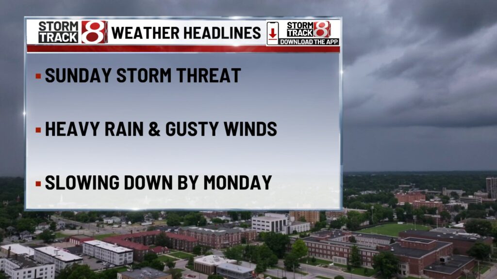
MONDAY
A bit of a break from the more widespread storm activity, but still a 50 percent chance of scattered showers and a few thunderstorms—mainly after 8 a.m. Highs will be slightly cooler in the low 80s under mostly cloudy skies. Winds will be from the east around 6 mph. Rain totals should remain modest for most, but isolated downpours are still possible.
MONDAY NIGHT
Partly cloudy to mostly cloudy skies overnight with a chance for an evening shower or storm before 2 a.m. Lows will dip into the upper 60s. Humidity will remain high and winds light out of the east.
TUESDAY
A dry and warmer trend kicks in. Expect mostly sunny skies with highs in the upper 80s and dewpoints climbing. Winds will turn southeasterly near 5 to 10 mph. Heat index values could start nearing the mid 90s by the afternoon.
TUESDAY NIGHT
Sticky conditions continue overnight with a low temperature only dropping to the upper 70s. Partly clear skies continue with southwest breeze at 5 to 10 MPH.
WEDNESDAY
The heat ramps up. Mostly sunny and hot with highs in the low 90s and dewpoints in the upper 70s. This will drive heat index values into the 100 to 105 range during peak heating. Winds will shift southwesterly at 5 to 10 mph.
WEDNESDAY NIGHT
Warm and muggy overnight with lows only dipping to the mid to upper 70s. Mostly clear skies continue with southwest breezes holding near 5 mph.
7 DAY FORECAST

After a soggy weekend and lingering Monday storms, the second half of the week turns dangerously hot. Tuesday through Friday will feature highs in the 90s and humidity pushing heat index values well over 100 each afternoon. Rain chances will be low but not zero, with a few pop-up storms possible by late week.
About The Author
You may also like
-
Hundreds of Indiana students receive free laptops during WNBA All-Star weekend
-
Team Collier bests Team Clark in WNBA All-Star Game
-
Greenwood woman killed in single-vehicle crash on I-65 northbound
-
From frustration to fun: Caitlin Clark on emotions of WNBA All-Star weekend
-
Silver Alert declared for 81-year-old woman missing from Carmel